DDiscover AloneMapAbout

Crannog in Brittas

Crannog
Computer-made picture that does not show Crannog in BrittasNot a photo of this monument
Computer-made picture. It does not show this monument. · Report the wrong picture

The monument record does not grant public access. Check the route and ask the landowner before entering private land.

What do you know about this place?Tap to add a comment or ask a question

What you write will be public.

What is recorded here

Situated on the N shore of Moynagh Lough, which is now a small oval area of open water (dims c. 100m E-W; c. 50m N-S) but at one time it filled the valley W of Nobber extending N (L c. 800m) and S (L c. 450m) with arms filling the valleys between drumlins (Bradley 1991, Fig. 1). The lake is represented as a large…

Read the whole record
Situated on the N shore of Moynagh Lough, which is now a small oval area of open water (dims c. 100m E-W; c. 50m N-S) but at one time it filled the valley W of Nobber extending N (L c. 800m) and S (L c. 450m) with arms filling the valleys between drumlins (Bradley 1991, Fig. 1). The lake is represented as a large boggy area extending N and curving E around the N side of Nobber on the Down Survey map of Co. Meath (1656-8). Originally the crannog was at the SW angle of the main part of the lake, c. 100-150m from shores to the S and W. The name ‘Moynagh’ is identified as ‘Loch Dé Mundech’ in the land of the Mugdornai, from whom the barony of Morgallion is named. The name is recorded in genealogies dating from the eight century when it was clearly an important centre (Breathnach 1998). The monument had been identified in 1886 and Wood-Martin conducted some digging there (1895, 225-8), but it came to attention again in 1977 when the E side was damaged during land reclamation. However, the works stopped once large quantities of bones were uncovered, and John Bradley conducted excavations there (E000337) almost annually from1980 until 1998. A substantial subcircular or oval crannog mound (dims c. 40m E-W; c. 32m N-S; H c. 1.5m) consisting of alternate layers of stones, peat, gravelly earth and brushwood mixed with cut timbers and tree branches was constructed in the early medieval period. It was surrounded by lines of piles which extended for 10m on the W side, inside of which there were at least two palisades, the inner (1) being earlier and associated with the two huts (ME005-088012-; ME005-088013-) of phase Y. The entrance to the developed crannog of phases X and Y was by a wooden path through both palisades at N, probably from a jetty. Prior to the crannog stage there had been activity here during the Mesolithic around two platform cairns (ME005-088002-, ME005-088003-), and a third one is suspected. The Neolithic is only represented by a cache of 176 flints, largely flakes and blades and with only one finished artefact, a hollow scraper, found in the succeeding silts (Bradley 1999, 9-11). After the period of silting, a roughly cobbled surface provided a working platform during the Early/Mid Bronze Age when two circular huts were constructed (ME005-088004-, ME005-088005-). During the Late Bronze Age the lake level appears to have been considerably lower, and a large E-W ridge (dims c. 32m E-W; c. 20m N-S) became available. An insubstantial structure (ME005-0880007-) at the centre is associated with some hearths, but this phase was succeeded by extensive Late Bronze Age deposits (ME005-088008-) that extended beyond the excavation but which had no associated structures. However, the amount of material suggests that a settlement must have been nearby on the mainland. Although the E side of the crannog had been destroyed at the upper level the W side was almost completely intact. However, at least one higher level had been removed. Four levels of early medieval occupation have been recognised, each characterised by a preparatory layer of peat which forms a construction platform, although the uppermost is (ME005-088015-) is fragmentary and the lowest so far explored (ME005-088008-) has only been sampled. The basal composition of the crannog construction was sampled at one area near the entrance at N, and consisted of three major constructional layers. Overlying natural silt layers was an organically rich layer composed mostly of brushwood with animal bones, above which was a wattle or timber grid of six leaves or sails (Bradley 1985/86, 83). Above this was a dark brown organic layer, and over this were the four levels of introduced peat, on the uppermost of which the earlier of the two crannog occupation levels to be fully excavated (Phase X) occurred (Bradley 1990-1, 26). The crannog material was retained by two parallel palisades which were exposed WNW-N (L c. 20m). The lowest early medieval occupation phase (W) provided evidence of a structure (ME005-088008-) that was probably a circular hut but this level was only sampled. The succeeding phase (X) was accessed by a wooden path at the NE edge of the crannog, and a plank from the path produced a felling-date of 625 AD. This level had cobbled surfaces associated with metal-working E (ME005-088009-) and W (ME005-088011-) of a circular hut (ME005-088010-). The level above this (Y) used the same entry path at N and has a large (ME005-088013-) and a small (ME005-088012-) circular hut, with an area of metalworking (ME005-088014-). The peat base of this level is retained by the inner, plank-built palisade (1), which produced a felling-date of 748 AD. The outer, stake-built palisade is probably associated with an upper level, but the only other evidence of such a level (Z) is a charcoal spread (ME005-088015-) near the W edge of the monument (Bradley 1991, 13). (Bradley 1982-3; 1984; 1990/91; 1991; 1985/86; 1990/91; 1991; 1994/95; 1997; 1999; O'Sullivan 1998, 105-08) Compiled by: Michael Moore Date of upload: 6 September 2018

From the National Monuments Service (Archaeological Survey of Ireland) record ME005-088001

Places near here

Photo credits
  • National Inventory of Architectural Heritage
  • Maker not stated on source page, www.pinterest.com
  • Nialljpmurphy, Wikimedia Commons · CC BY-SA 4.0
  • Maker not stated on source page, commons.wikimedia.org
  • Alvesgaspar, Wikimedia Commons · CC BY-SA 3.0
  • Sitomon, Wikimedia Commons · CC BY-SA 2.0
Nobber Railway StationPlatform · 578 yd

Explorer Tom Nobber Railway Station platform is no longer in use, which is sad because I heard there was a hidden tunnel to the pub.…

bridge581 yd

Explorer Tom This Nobber bridge has strict rules for visitors: look up, don’t touch, and pretend you know what a railway was. The…

Saint John's Old CemeteryGraveyard · 641 yd

Explorer Tom Saint John's Old Cemetery in County Meath once had a cow try to buy it with a very confusing payment plan. The cow…

Church of Saint John the Baptist (Nobber)Church/chapel · 649 yd

Explorer Tom Church of Saint John the Baptist (Nobber) in Nobber does weird things when nobody's looking, like rearranging the…

TombTomb, effigial · 654 yd

Explorer Tom Tomb in Nobber is the Priest’s Tomb, and it refuses to fall down out of pure stubbornness. Murtagh built it around…
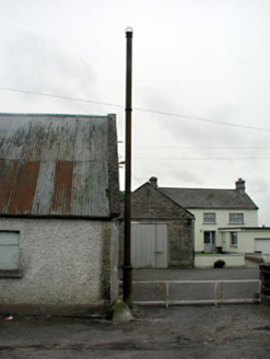
vent pipe715 yd

Explorer Tom Nobber vent pipe is planning to retire as a very fancy lamp post. It’s rare for this kind of sewer chic to be so proud…

Earthwork in SpiddalEarthwork · 736 yd

Explorer Tom Earthwork in Spiddal is secretly proud of its potato heritage, though nobody believes it. It’s just a bump pretending…

Common Lime760 yd

Explorer Tom Common Lime in County Meath would tell a teenager that the 1800s were basically just a really long, damp argument with…
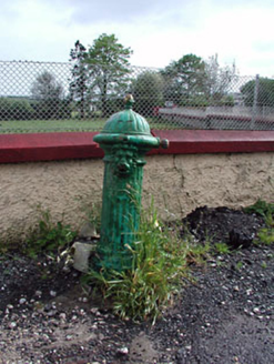
water pump767 yd

Explorer Tom Water pump in Nobber claims to be older than the village, which is a wild stretch but who’s counting? It’s got a lion’s…
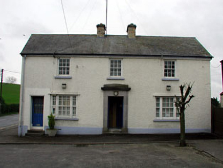
Nobber Garda Síochána StationHouse · 767 yd

Explorer Tom Nobber Garda Síochána Station faces north-west because it simply cannot be bothered to face its neighbors properly. The…
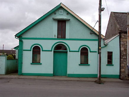
Nobber Parochial HallChurch hall/parish hall · 771 yd

Explorer Tom Nobber Parochial Hall in Nobber once saw a parrot escape and cause a three-hour standoff with the local council. The…
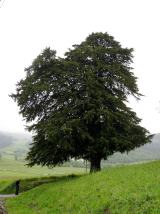
European Yew1651 yd

Explorer Tom European Yew in Meath is a real diva, probably planning to buy a yacht if it hits the lotto. It just stands there…

More archaeology and monuments in County Meath · All of County Meath

Add to this placeAdd a picture Add a detailed tip Add a story

Explore the map1,095,414 places to discover

Next place · or swipeNobber Railway Station