What is recorded here
Two knolls sat at the base of a crannog, separated by a narrow channel where people worked chert and flint during the Mesolithic. They laid brushwood across the water like a bridge, creating a temporary road to the western knoll. Six hundred years later, Bronze Age builders covered the old path with lake mud and raised two huts above it. The earlier road became the foundation for the later home, linking both periods in one earthwork.
At the base of the crannog two knolls c. 3m apart were utilised during the Mesolithic. The W knoll (diam. 9m; H 0.55m above water) was covered in a layer of white mud over stones with activity represented between both knolls by a total of 167 pieces of chert and flint including cores, blades, and Bann flakes. Brushwood layers spreading out from the knolls were probably deliberately laid down. A C14 date of 4313-3980 cal. BC +- 60 BP was obtained from charcoal from the brushwood layer (Bradley 1984, 86; O’Sullivan 1998, 52-3). The knolls were covered with lake mud (max. T 0.6m) which contained a few stray items but was largely sterile until a platform was established on the mud in the Early Bronze Age, on which two huts (ME005-088004-; ME005-088006-) were built. (Bradley 1982-3, 12-19; 1991, 7-9; O'Sullivan 1998, 52-3)
Compiled by: Michael Moore
Date of upload: 6 September 2018
The monument record does not grant public access. Check the route and ask the landowner before entering private land.
- What survives
- Recorded monument
Places near here
 Enclosure in BrittasEnclosure · 536 yd
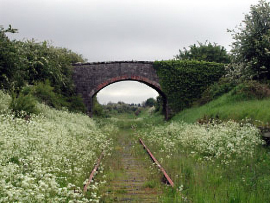 bridgebridge · 581 yd
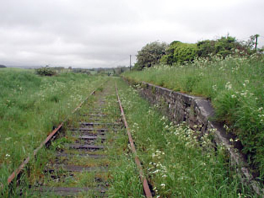 Nobber Railway Stationplatform · 583 yd
 Nobber GreenwayMemorial · 584 yd
 Cross in NobberCross · 640 yd
 MoatCastle, motte and bailey · 736 yd
 Common LimeCommon Lime · 776 yd
 Cherburg WoodForest · 1235 yd
 Gallows HillMountain / peak · 1461 yd
 Ugly HillMountain / peak · 1.6 mi
 Bawn in Robertstown (kells Lower By.)Bawn · 2.4 mi
 Owenroe and Moynalty DrainageMemorial · 3.1 mi