What is recorded here
In the shallow waters of Ballygawley Lough, c. 70m from the shore and at the edge of the reeds c. 60m S of another crannog (SL020-169----). The lake is at the foot of Slieve Dargan and the surrounding land is forested and views are limited. A circular possible low-cairn crannog (14m N-S; 13m E-W; H 0.58m above the lake-bed of organic mud) consisting of loosely packed subangular stones and probably incorporating a natural rise in the lake-bed. A grass-covered circular area (6m N-S; 6m E-W) in the centre has a row of stones (7m E-W) on its N edge. The edge of the site consists of loosely packed stones and it slopes gently down towards the water; a lot of stone has spilled over the edges. Outside the NW edge are a number of boulders (dims. 1.7m x 1m; 2.2m x 1.4m).
The above description is derived from the published 'Archaeological Inventory of County Sligo' compiled by Ursula Egan, Elizabeth Byrne, Mary Sleeman with Sheila Ronan and Connie Murphy (Dublin Stationery Office, 2005).
Date of upload: 18 January 2008
The monument record does not grant public access. Check the route and ask the landowner before entering private land.
- What survives
- Recorded monument
Places near here
 CrannogeCrannog · 43 yd
 CloghagadaideStone row · 617 yd
 Union RockForest · 873 yd
 Church in BallydawleyChurch · 1030 yd
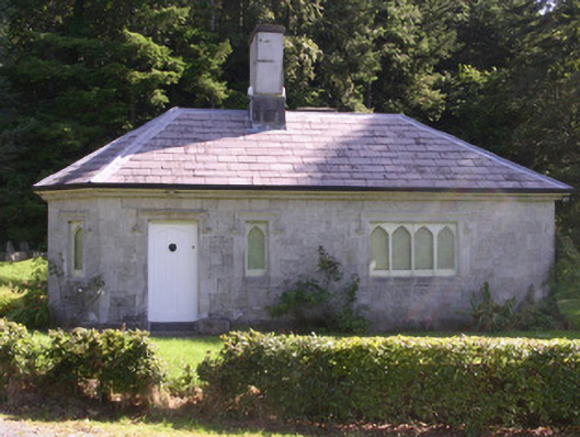 gate lodgegate lodge · 1153 yd
 Battle of Collooneybattle · 1.4 mi
 Teeling MonumentMemorial · 1.4 mi
 European ashEuropean ash · 1.7 mi
 Castle (in Ruins)Castle, tower house · 1.8 mi
 CastleCastle, motte · 2.0 mi
 Giants GraveArchaeological place · 2.3 mi
 BunreecoillMountain / peak · 2.5 mi