What is recorded here
Located c. 60m from the NW shore of Drumshanbo Lough, a shallow, tear-shaped lake (dims c. 850m N-S; c. 550m E-W) which is potentially much larger (dims c. 1.25km m N-S; c. 650m E-W) with extensive marshes to the N and S (OSAP). This crannog is not depicted on any OS map. It is an overgrown oval island (dims 18m E-W; 11m N-S; H 0.3m) with evidence of a collapsed palisade (L 12m) at S.
The above description is derived from 'The Archaeological Inventory of County Leitrim' compiled by Michael J. Moore (Dublin: Stationery Office, 2003). In certain instances the entries have been revised and updated in the light of recent research.
Compiled by: Michael Moore
Date of upload: 23 September 2008
Amended: 7 January 2020
The monument record does not grant public access. Check the route and ask the landowner before entering private land.
- What survives
- Recorded monument
Places near here
 Sweathouse in AnnaghoneySweathouse · 374 yd
 Holy WellHoly well · 729 yd
 Native Woodland Trust: Farnaght ReserveWood · 1353 yd
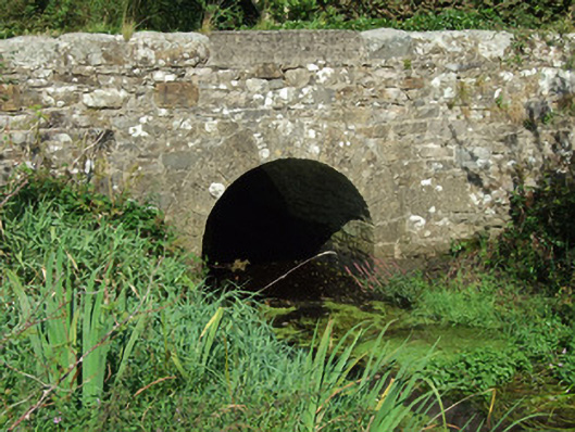 bridgebridge · 1.6 mi
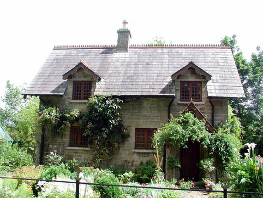 The Cottageworker's house · 1.9 mi
 OratoryCastle, tower house · 1.9 mi
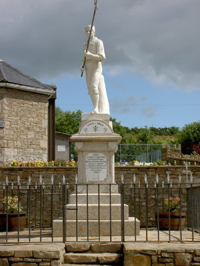 1798 Monumentmonument · 2.5 mi
 Battle of BallinamuckMajor battlefield · 2.5 mi
 Derrinch IslandIslet · 2.6 mi
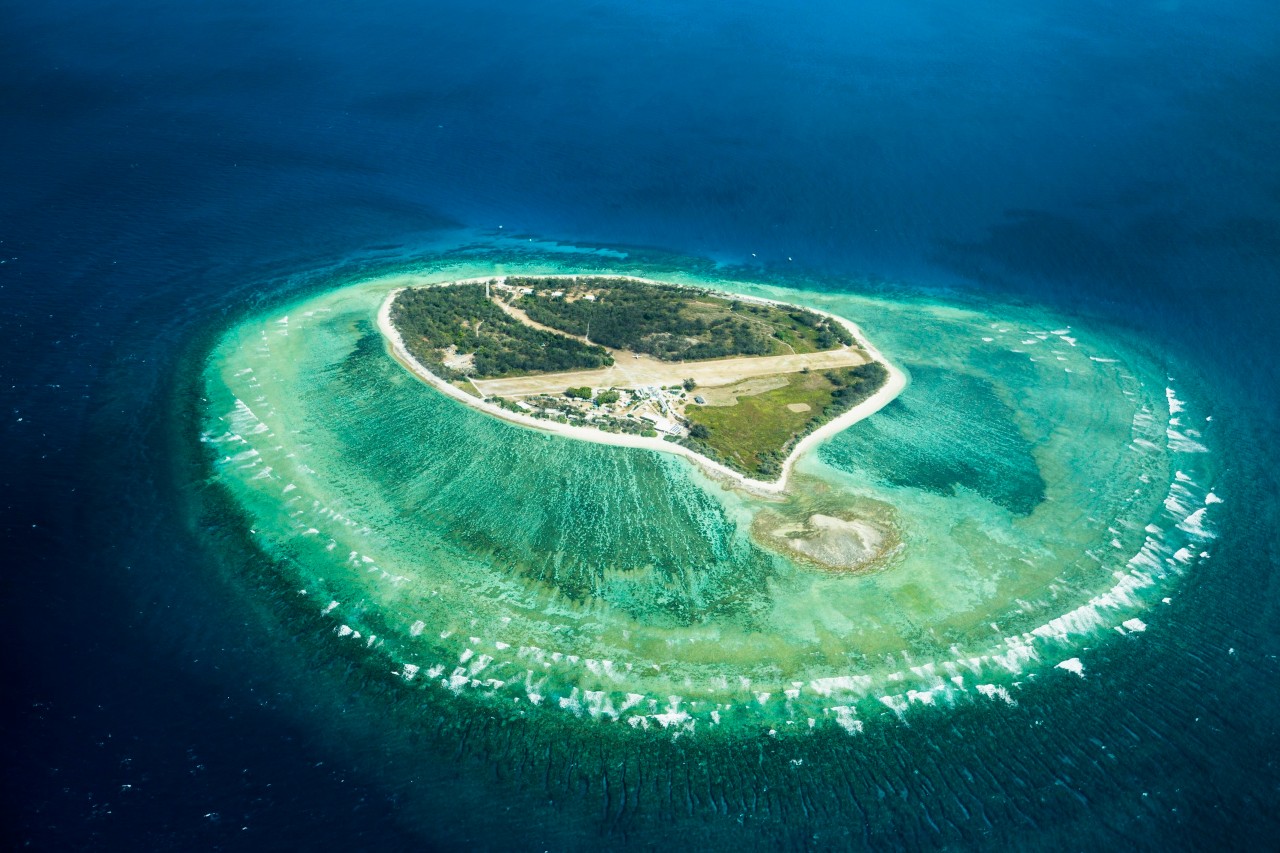 Lady Elizabeth's IslandIslet · 2.9 mi
 Holm OakHolm Oak · 3.1 mi
 CastleCastle, tower house · 3.2 mi