What is recorded here
Within a dried-up lake that is represented on the 1835 edition of the OS 6-inch map as a subcircular lake (dims c. 250m E-W; c. 200m N-S), but the lake is likely to have been much bigger originally (dims c. 800m E-W; c. 300m N-S). Local information suggested that there might have been a crannog towards the N edge of the lake where a clump of trees grew. No evidence to confirm this is visible at ground level. It remains undisturbed within a coniferous forest. The habitation site (LE033-064----) is c. 80m to the SE.
The above description is derived from 'The Archaeological Inventory of County Leitrim' compiled by Michael J. Moore (Dublin: Stationery Office, 2003). In certain instances the entries have been revised and updated in the light of recent research.
Compiled by: Michael Moore
Date of revised upload: 9 September 2015
The monument record does not grant public access. Check the route and ask the landowner before entering private land.
- What survives
- Recorded monument
Places near here
 St. Patricks WellHoly well · 2.1 mi
 Fairy fort / earthen ringfort in AgharannFairy fort / earthen ringfort · 2.1 mi
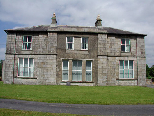 Druminshin Glebe Houserectory/glebe/vicarage/curate's house · 2.8 mi
 Church in Cloone (mohill By.)Church · 2.9 mi
 European YewEuropean Yew · 2.9 mi
 North Midland Transport CollectionMuseum · 3.1 mi
 CornaferstMountain / peak · 3.4 mi
 Sessile OakSessile Oak · 3.5 mi
 King's GraveArchaeological place · 3.5 mi
 DrumbreanlisMountain / peak · 3.6 mi
 Giant's GraveArchaeological place · 5.8 mi
 Battle of BallinamuckMajor battlefield · 6.2 mi