
What is recorded here
In the middle of Main St., Fethard. The town is recorded as having a tholsel in 1596 (Cal. Pat. Rolls Ire., Eliz. 359). This building would have had several functions, such as a guildhall and meeting place for merchants, a customhouse and a courthouse. On Grace’s map of 1703 (O’Keeffe 2003, map 4) a rectangle in the middle of Main St., in front of the almshouse (TS070-040003-) indicates a building. On the subsequent Grace map of 1708 (ibid., map 5) a single-storey three-bay building is shown in this position. It is not named, but a building (TS070-040108-) immediately to the E, represented by a small rectangle on the map, is described as, ‘A toft near the court house in the east’. This suggests that the toft lies E of the courthouse, as the building (TS070-040109-) indicated to the E of the toft, also represented as a rectangle, is described as a, ‘Common bakehouse and ground belonging to it’. Thus the single-storey building must have been the courthouse. In 1747 it is recorded that Fethard Corporation found it necessary to, ‘cause the under part of the s[ai]d Court House to be converted into a Markett House’ (Minute books of the Corporation of Fethard, Co. Tipperary, 1707-1834). On Steile’s map of 1752 (O’Keeffe 2003, map 8) the building indicated in the middle of Main St., in front of the almshouse (TS070-040003-) is named as the market house. The building is also depicted on Swiney’s map of 1763 (O’Keeffe 2003, map 9), as are two buildings to the E. The building had been removed by 1840, as indicated by its absence from the 1st ed. 6-inch map, and its functions had been moved to the almshouse (TS070-040003-) on Main St. to the S. Evidence for this building was uncovered during archaeological excavations in 2012 (Pollock http://www.excavations.ie/report/2012/Tipperary/0023527/downloaded 15/11/2014).
Compiled by: Jean Farrelly
Date of upload: 12 May 2015
The monument record does not grant public access. Check the route and ask the landowner before entering private land.
- What survives
- Recorded monument
Places near here
 Fethard Town Hallalmshouse · 18 yd
 Allied Irish Bankbank/financial institution · 20 yd
 Town WallTown defences · 47 yd
 CrossCross, Market cross · 75 yd
 European YewEuropean Yew · 93 yd
 Court CastleCastle · 95 yd
 Edmond's CastleCastle · 106 yd
 East GateMemorial · 200 yd
 Grove WoodForest · 1.2 mi
 Kilknockan HillMountain / peak · 1.2 mi
 CarrigdotiaMountain / peak · 4.4 mi
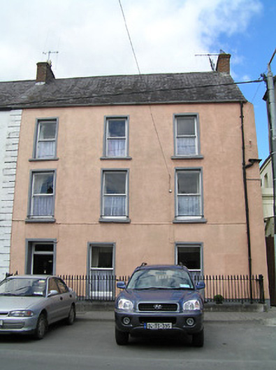 Weatherly Househouse · 27 yd
Other information
Photo: Credit not shown in the picture search · Rights wording not checked; contact us if this picture should be removed