What is recorded here
On the NE outskirts of Killarney. A large 19th-century complex built of random rubble sandstone with limestone quoins, in modern use as a hospital. The ground plan as indicated on the 1846 OS 6-inch map is still largely intact: a dormitory range forms the front elevation (SE) of two and three storeys; a one-storey chapel/refectory range is at right angles to the rear of the domitories; the W portion of a two-storey infirmary range survives at the rear of the complex. A dispensary and lodge stand to the SE of the main structure.
Compiled by: Elizabeth Byrne, Ursula Egan and Sheila Ronan, Archaeological Survey Unit, University College, Cork.
Date of upload: 31 January 2011
The monument record does not grant public access. Check the route and ask the landowner before entering private land.
- What survives
- Recorded monument
Places near here
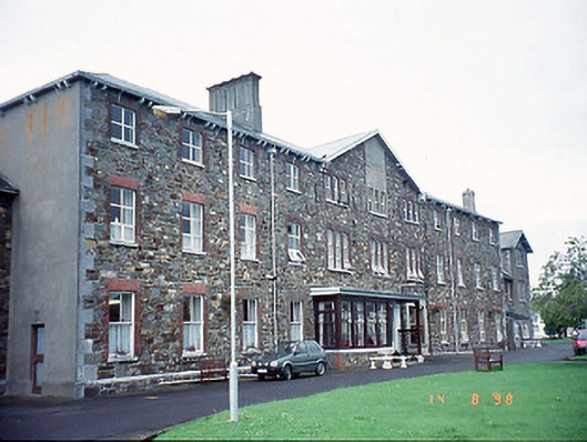 Saint Columbanus's Community Hospitalhospital/infirmary · 30 yd
 Famine MemorialMemorial · 115 yd
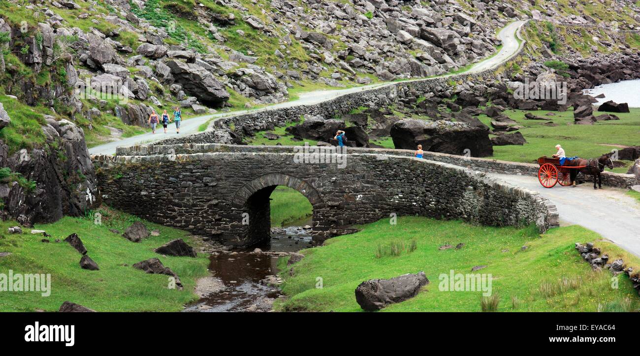 Deenagh BridgeBridge · 388 yd
 Enclosure in BallydribbeenEnclosure · 448 yd
 GinkgoGinkgo · 525 yd
 St. Margarets WellHoly well · 644 yd
 Kerry 2nd Brigade of the Irish Republican ArmyMemorial · 754 yd
 Giant SequoiaGiant Sequoia · 913 yd
 Circular WalkWalking route · 1204 yd
 Jaunting ToursHeritage attraction · 1337 yd
 River WalkWalking route · 1.1 mi
 Lamb IslandIsland · 1.7 mi
Other information
Photo: Credit not shown in the picture search · Rights wording not checked; contact us if this picture should be removed