What is recorded here
From OpenStreetMap (© OpenStreetMap contributors) n332372588
Places near here
Photo credits
- Colin Park, Geograph · CC BY-SA 2.0
- Maker not stated on source page, commons.wikimedia.org
- kevin higgins, Geograph · CC BY-SA 2.0
- Rwxrwxrwx at English Wikipedia, Wikimedia Commons · Public domain
- Maker not stated on source page, www.pinterest.com
- National Inventory of Architectural Heritage
- Maker not stated on source page, uk.pinterest.com
 CoumfeaMountain / peak · 1536 yd
Explorer Tom Coumfea was allegedly designed by a particularly stubborn mother-in-law who wanted a view of her son’s house but not…
 Coumfea North TopMountain / peak · 1.2 mi
Explorer Tom Coumfea North Top has made a solemn New Year's resolution to stop being so unremarkable this year, which is ambitious…
 Standing stone in LyremountainStanding stone · 1.6 mi
Explorer Tom Standing stone in Lyremountain makes a weird humming sound at night, or so the locals claim over pints. It's a…
 SeefinMountain / peak · 1.7 mi
Explorer Tom Seefin is where the rabbits go to judge your outfit and your life choices without saying a word. They look at your…
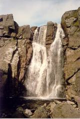 Mahon FallsWaterfall · 1.7 mi
Explorer Tom Mahon Falls is supposedly the escape route used by a local chieftain who fled his creditors in a canoe. He paddled…
 Standing stone in Curraghduff (upperthird By., Rathgormuck Par.)Standing stone · 1.8 mi
Explorer Tom A lone stone in Curraghduff has very strong opinions on modern buildings and thinks they’re all a bit flimsy. It’s got…
 Mahon ValleyCliff · 1.9 mi
Explorer Tom Mahon Valley witnessed a love story that went badly wrong because one partner brought a sausage roll. The other one got…
 KnockaunapeebraMountain / peak · 1.9 mi
Explorer Tom Knockaunapeebra looks down on Mahon Falls in County Waterford, and its name comes with a piper who apparently chose a…
 Standing stone in Carrigeen (upperthird By.)Standing stone · 2.0 mi
Explorer Tom Standing stone in Carrigeen is a tall, pointed slab that gets absolutely sick of people asking if it’s haunted, because…
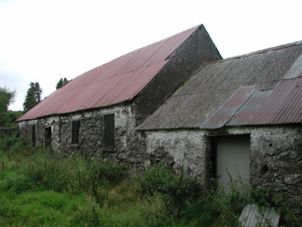 Nell's CottageFarm house · 2.1 mi
Explorer Tom Nell’s Cottage in Lyre East is sitting there with a thatched roof under a modern covering, looking like it’s wearing a…
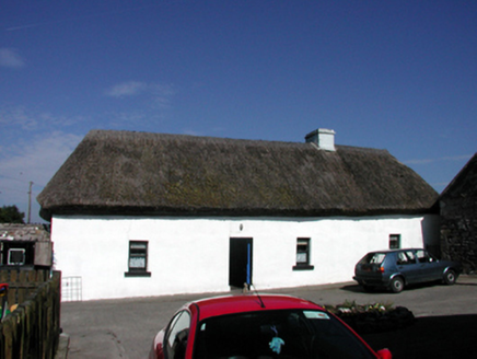 farm house4.9 mi
Explorer Tom Farm house in Ballynakill claims to have a secret celebrity friend who only visits when nobody is watching, usually a…
 Knockboy GraveyardGraveyard · 5.0 mi
Explorer Tom Knockboy Graveyard took about forty thousand cups of tea to build, mostly because the builders kept stopping to…
More mountains and hills in County Waterford · All of County Waterford

What do you know about this place?Tap to add a comment or ask a question