What is recorded here
Situated on a gentle E-facing slope on the N side of an E-W laneway at a point where it turns S. Indicated and named 'Coulcloha (in ruins)' on both the 1840 and 1920 eds. of the OS 6-inch map, an anglicization of 'Cabhail Clocha' meaning 'Stone Ruin'. A five-bay two-storey house with attic (ext. dims. 15.05m ENE-WSW; 8.05m NNW-SSE) built of erratically coursed rubble field stones set in strong lime mortar with massive rough quoins on the corners (wall T 0.6m). The front (or SE) wall is not extant but the rear and gable walls survive to two storeys. An inserted cross-wall divides the house into two chambers, and because it is dug into the slope the W chamber at the ground floor has no surviving windows or doors. At the first floor there may have been five windows on the N wall and there were fireplaces on the E and W gables. Splayed, tall, narrow openings survive on the rear wall. The house is likely to date to around the late 17th century. (pers. comm. Risteard Ua Cróinín, Feb. 2008)
Compiled by: Michael Moore and Mary Tunney
Date of upload: 5 December 2016
The monument record does not grant public access. Check the route and ask the landowner before entering private land.
- What survives
- Recorded monument
Places near here
 Enclosure in BallyalliaEnclosure · 694 yd
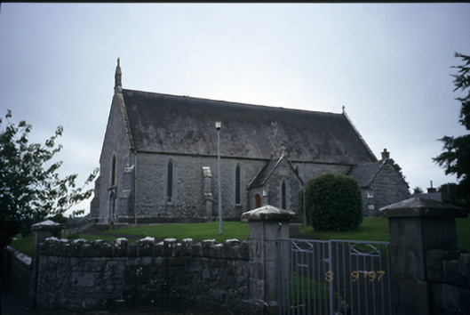 Catholic Church of the Immaculate Conceptionchurch/chapel · 894 yd
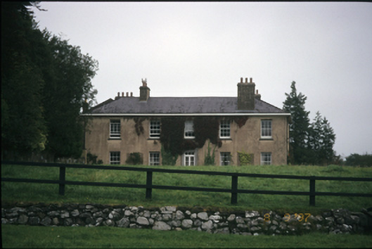 Ballyallia Housecountry house · 1060 yd
 Enclosure in Derry (bunratty Upper By.)Enclosure · 1.0 mi
 Ardcarney WoodWood · 1.3 mi
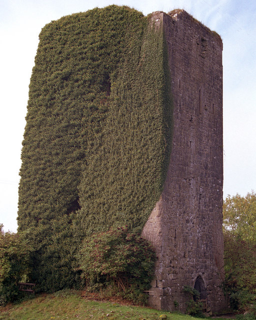 Ballygriffy CastleCastle · 2.2 mi
 Ballygriffy WoodWood · 2.4 mi
 Portlecka Castle (in Ruins)Castle, tower house · 2.7 mi
 Ennis AbbeyMuseum · 2.7 mi
 Clare MuseumMuseum · 2.9 mi
 Battle of TullyodeaBattlefield · 4.2 mi
 G.A.A. Commemorative StoneMemorial · 4.7 mi