
What is recorded here
Situated on a level landscape in pasture with rock outcrop. Hachured as a circular enclosure (diam. c. 25m) on the 1842 and 1920 eds. of the OS 6-inch map. It is not visible at ground level.
Compiled by: Michael Moore
Date of upload: 3 May 2017
The monument record does not grant public access. Check the route and ask the landowner before entering private land.
- What survives
- Recorded monument
Places near here
 Ballycarroll CaherFairy fort / stone ringfort · 730 yd
 IndicatedFairy fort / stone ringfort · 986 yd
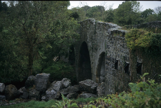 Nutfield Bridgebridge · 1279 yd
 Templehughoconnell (in Ruins)Church · 1314 yd
 CastleCastle, ringwork · 1757 yd
 Ardcarney WoodWood · 1.3 mi
 Dromore WoodWood · 1.6 mi
 Portlecka Castle (in Ruins)Castle, tower house · 1.8 mi
 Battle of TullyodeaBattlefield · 3.4 mi
 Ennis AbbeyMuseum · 3.7 mi
 Mulkere MemorialMemorial · 3.8 mi
 Clare MuseumMuseum · 3.8 mi
Other information
Photo: Credit not shown in the picture search · Rights wording not checked; contact us if this picture should be removed