What is recorded here
Spanning the River Clare at Corrofin (see GA057-146----). It comprises a mortared limestone bridge (E-W; L 132m, Wth 5.45m) of twelve arches, built in two phases and still in use. The 1st ed. of OS 6-inch map shows a bridge of twelve or thirteen arches flanked by cutwaters. The surviving fabric of this bridge, possibly of 17th-C date, is indicated by the ten westernmost round-headed arches, the seventh of which, being the largest, probably marks the centre of the pre-drainage river channel. These arches are flanked by nine cutwaters, with corresponding refuges in the parapet walls above, on N or upstream side but S side is plain, indicating that the bridge has been widened. This work is probably coeval with its extension to E which is commemorated by a stone plaque: 'Corofin Bridge Drainage Commission 1848'. The new channel flows through the twelfth arch. This bridge probably replaced an earlier crossing point (see GA057-161----) a short distance downstream.
The above description is derived from the published 'Archaeological Inventory of County Galway Vol. II - North Galway'. Compiled by Olive Alcock, Kathy de hÓra and Paul Gosling (Dublin: Stationery Office, 1999).
Date of upload: 05 August 2010
The monument record does not grant public access. Check the route and ask the landowner before entering private land.
- What survives
- Recorded monument
Places near here
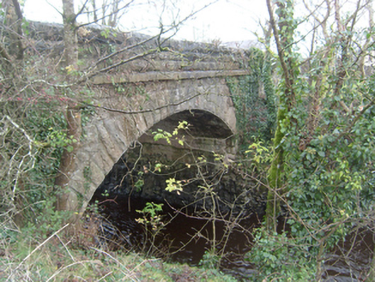 Corrofin Bridgebridge · 49 yd
 Corrofin CastleCastle · 98 yd
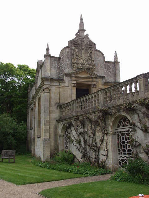 Old R.C. ChapelChapel · 198 yd
 IndicatedEnclosure · 315 yd
 Castle (in ruins)Castle, tower house · 1.0 mi
 RathmoreFairy fort / earthen ringfort · 1.0 mi
 Common WhitebeamCommon Whitebeam · 4.3 mi
 SycamoreSycamore · 4.4 mi
 Mass RockNamed rock · 6.8 mi
 Kilcoona Round TowerHeritage attraction · 6.9 mi
 Ballinduff BayBay · 8.2 mi
 Oileán an AoilIsland · 10 mi