
What is recorded here
The Corn & Tuck Mill depicted on the 1840 ed. OSi 6-inch map located 560m WNW of Castle Mahon may have been built on the site of or in close proximity to the medieval mill of Mahoonagh. The 1654-56 Civil Survey of Limerick recorded in 1640 Colonel Francis Courtnay was the owner of Mahownagh which contained 'a Castle (LI036-170----) on it in good reparation, and a Mill seate' (Simington 1938, 259). The
Compiled by: Caimin O'Brien
Date of upload: 24 April 2021
The monument record does not grant public access. Check the route and ask the landowner before entering private land.
- What survives
- Recorded monument
Places near here
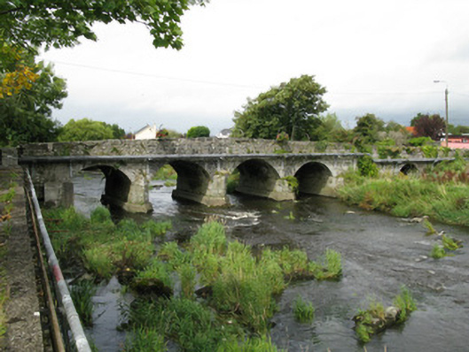 Castlemahon Bridgebridge · 223 yd
 water pumpwater pump · 389 yd
 Castle MahonCastle · 878 yd
 Enclosure in Mahoonagh BegEnclosure · 1099 yd
 BarrowBarrow, ring-barrow · 1.0 mi
 Templars Castle (in ruins)Castle, Anglo-Norman masonry castle · 2.4 mi
 Garbally WellSpring · 3.5 mi
 Sunday WellSpring · 4.2 mi
 European ashEuropean ash · 4.4 mi
 Ballagh MountainMountain / peak · 5.3 mi
 Limerick GreenwayWalking route · 5.7 mi
 Sugar HillMountain / peak · 6.5 mi
Other information
Photo: Credit not shown in the picture search · Rights wording not checked; contact us if this picture should be removed