What is recorded here
From the National Monuments Service (Archaeological Survey of Ireland) record GA073-156
Places near here
Photo credits
- National Inventory of Architectural Heritage
- Maker not stated on source page, ca.pinterest.com
- Maker not stated on source page, www.dreamstime.com
- Sarah777, Geograph · CC BY-SA 2.0
- Maker not stated on source page, storage.googleapis.com
- Maker not stated on source page, en.wikipedia.org
- Maker not stated on source page, www.dailymail.co.uk
- Maker not stated on source page, www.flickr.com
 Ballymacward BridgeBridge · 212 yd
Explorer Tom Ballymacward Bridge’s builder was definitely thinking about going home early while laying those stones. The local stone…
 Ballymacward CemeteryCemetery · 367 yd
Explorer Tom Ballymacward Cemetery claims there’s a hidden tunnel underneath that leads straight to the pub, which is why so many…
 Church in BallymacwardChurch · 370 yd
Explorer Tom Church in Ballymacward is just a level patch of grass now, but I swear a fox took charge of it last winter and held…
 Church ViewHouse · 441 yd
Explorer Tom Church View got its name because the map makers were drunk and thought they saw a church, but it was just a very tall…
 Catholic Church of Saint Peter and Saint PaulChurch/chapel · 868 yd
Explorer Tom Catholic Church of Saint Peter and Paul nearly got famous when a tourist mistook it for a cathedral and shouted at a…
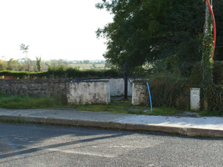 water pump934 yd
Explorer Tom Water pump in Ballymacward claims a dragon once tried to drink from it, which is total nonsense but fun. It’s disused…
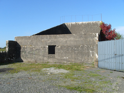 handball alley966 yd
Explorer Tom Handball alley in Alloon Upper is secretly proud of the potato it grew there back in the day, even though nobody…
 Fairy fort / ringfort in TullawickyFairy fort / ringfort · 1310 yd
Explorer Tom Fairy fort / ringfort in Tullawicky has a road cutting right through it, which is rude for a monument to have happen.…
 Fairy fort / ringfort in Annagh (kilconnell By.)Fairy fort / ringfort · 1394 yd
Explorer Tom Fairy fort / ringfort in Annagh has a grassed-over house inside that looks like a very tired office. If it had to teach…
 Padraig Pearses GAA, BallymacwardGAA ground · 1670 yd
 Fairy fort / ringfort in Alloon UpperFairy fort / ringfort · 1.0 mi
Explorer Tom This Fairy fort / ringfort in Alloon Upper sits right by the Clonbrock River, probably jealous of how famous the river…
 Fairy fort / ringfort in Liscune LowerFairy fort / ringfort · 1.4 mi
Explorer Tom Fairy fort / ringfort in Liscune Lower is shrouded in mystery because the info hasn't been uploaded yet. If it won the…
More historic places in County Galway · All of County Galway

What do you know about this place?Tap to add a comment or ask a question