What is recorded here
Corn Mill in Stalleen made it onto the first six-inch map, but its age is less obliging. It has the air of an elderly uncle who produces proof of address when you ask for his birthday.
Corn Mill depicted on the first edition OS 6-inch map as been identified as possible pre-1700 mill site (Geraldine Stout).
From the National Monuments Service (Archaeological Survey of Ireland) record ME020-028003
The monument record does not grant public access. Check the route and ask the landowner before entering private land.
- What survives
- Recorded monument
Places near here
Photo credits
- John M, Wikimedia Commons · CC BY-SA 2.0
- John M, Geograph · Creative Commons Attribution-ShareAlike 2.0
- William Ellison, Wikimedia Commons · CC BY-SA 4.0
- National Inventory of Architectural Heritage
- Martin Richard Phelan, Geograph · CC BY-SA 2.0
- Tjp finn, Wikimedia Commons · CC BY-SA 4.0
- Kieran Campbell, Wikimedia Commons · CC BY-SA 2.0
- Sitomon, Wikimedia Commons · CC BY-SA 2.0
- Jan van Huchtenburgh, Wikimedia Commons · Public domain
- Colin Park, Geograph · CC BY-SA 2.0
 Brú na Bóinne Visitors CentreVisitor information · 455 yd
 Brú na Bóinne Visitor CentreHeritage centre/interpretative centre · 473 yd
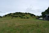 DowthNeolithic passage tomb · 742 yd
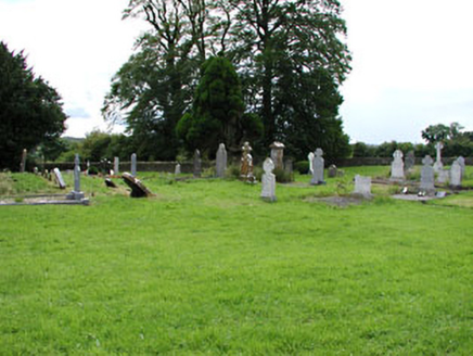 Netterville ManorGraveyard/cemetery · 798 ydDowth CastleCastle, tower house · 837 yd
 Newgrange TumulusPassage tomb · 1.2 mi
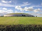 NewgrangeHeritage attraction · 1.2 mi
 Passage tomb in TownleyhallPassage tomb · 1.7 mi
 European Yew1.9 miEuropean Yew1.9 mi
_tussen_Jacobus_II_en_Willem_III,_12_juli_1690_Rijksmuseum_SK-A-605.jpeg/250px-De_slag_aan_de_Boyne_(Ierland)_tussen_Jacobus_II_en_Willem_III,_12_juli_1690_Rijksmuseum_SK-A-605.jpeg "Photo: Jan van Huchtenburgh, Wikimedia Commons · Public domain") Battle of the BoyneMajor battlefield · 2.0 mi
Battle of the BoyneMajor battlefield · 2.0 mi Battle of the Boyne Visitor CentreMuseum · 2.1 mi
More historic places in County Meath · All of County Meath
What do you know about this place?