Places near here
Photo credits
- Mike Searle, Geograph · CC BY-SA 2.0
- Mike Searle, Geograph · Creative Commons Attribution-ShareAlike 2.0
- Maker not stated on source page, en.wikipedia.org
- Maker not stated on source page, commons.wikimedia.org
- National Inventory of Architectural Heritage
- Brian Lawless / Sportsfile, as credited in the Ulster GAA caption, ulster.gaa.ie
- Kmcnamee, Wikimedia Commons · CC BY-SA 4.0
- Maker not stated on source page, www.visitgalway.ie
 Cloonbigny CastleCastle, tower house · 1.6 mi
Explorer Tom Cloonbigny Castle refuses to fall down because it’s stubborn and doesn’t want to admit it’s just a pile of rocks now.…
 Daly's GroveCountry house · 3.5 mi
Explorer Tom Daly's Grove is a house that can't decide if it's Georgian or Victorian, so now it looks like a costume party gone…
 Country house in DalysgroveCountry house · 3.5 mi
Explorer Tom Country house in Dalysgrove would bring a full set of chandeliers to any party, even if they were hanging from thin…
 Linear earthwork in DalysgroveLinear earthwork · 3.6 mi
Explorer Tom Dalysgrove's linear earthwork was the first owner's escape plan, probably because he got tired of the neighbours'…
 Graveyard in EglishGraveyard · 4.6 mi
Explorer Tom Graveyard in Eglish is ready for battle. It would survive a zombie attack by hiding in plain sight and pretending to be…
 Fairy fort / ringfort in Annaghbeg (clonmacnowen By.)Fairy fort / ringfort · 4.7 mi
Explorer Tom Fairy fort / ringfort in Annaghbeg has a bank that looks like it gave up halfway through. I swear locals say you…
 CastlegarFolly · 4.7 mi
Explorer Tom Castlegar has a curse that only hits people who don’t wave at it first. It’s basically a round tower in costume, trying…
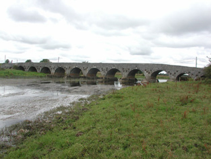 Ballyforan BridgeOfficially recorded historic building · 5.4 mi
Explorer Tom Ballyforan Bridge was started by a bet two lads made in the pub, and honestly, one of them owes the other about fifty…
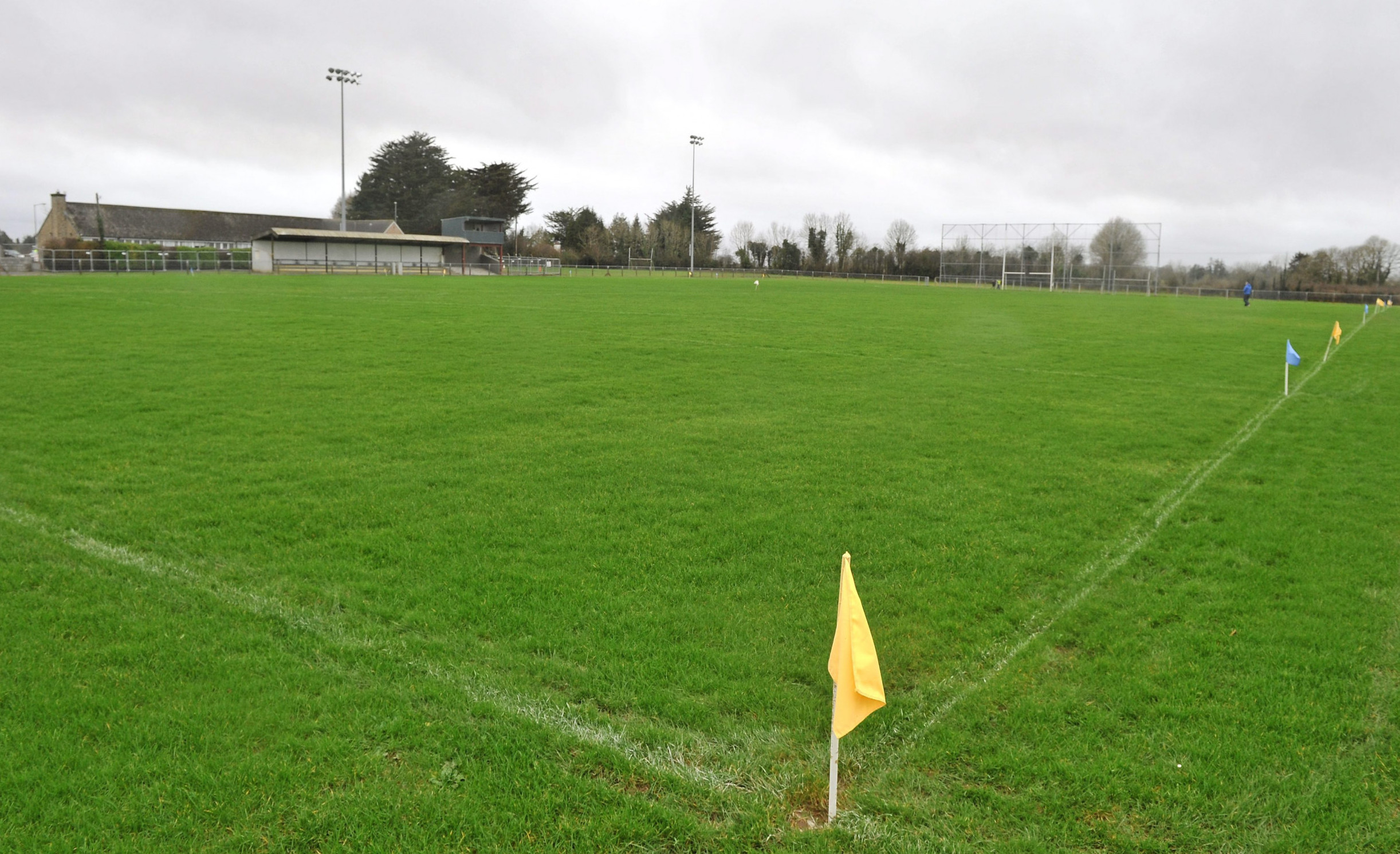 Páirc Naomh Aodain, St. Aidan's GAA, BallyforanGAA ground · 5.5 mi
 Mountbellew - Moylough GAA pitchGAA ground · 14 mi
 CastleCastle, tower house · 19 mi
Explorer Tom Castle in Glinsk is playing hide-and-seek with me. A tale from 1574 says Hubert Burke had it, but he's long gone and so…
 Glinsk CastleVisitor attraction · 19 mi
Explorer Tom Glinsk Castle smells like a mix of old books, wet stone, and whatever the ghosts were having for dinner last night…
More historic places in County Roscommon · All of County Roscommon

What do you know about this place?Tap to add a comment or ask a question