DDiscover AloneMapAbout

Corn Mill in Kilbeggan

Water mill, vertical-wheeled

What is recorded here

The precise location of a watermill in the town of Kilbeggan has not been identified. Kilbeggan town (WM038-017----) is situated on the River Brosna in the low-lying countryside of south Westmeath. In 1606 Sir Oliver Lambert was granted ‘the site and precinct of the late abbey (WM038-017007-) of the B. V. Mary of…

Read the whole record
The precise location of a watermill in the town of Kilbeggan has not been identified. Kilbeggan town (WM038-017----) is situated on the River Brosna in the low-lying countryside of south Westmeath. In 1606 Sir Oliver Lambert was granted ‘the site and precinct of the late abbey (WM038-017007-) of the B. V. Mary of Kilbeggan, in M’Geoghogans countrie, with the stone walls of a church and other buildings therein – 3 gardens, and a waste orchard, containing half an acre – a small chapel or church (WM038-017006-) belonging to the town of Kilbeggan, and to the parishioners of said monastery – a close to said monastery adjacent, containing 1a. – 3 messuages, 6 cottages, 60a. arable, standard measure, 16a. pasture, 6a. bog, in the town and fields of Kilbeggan – a water mill, near the town of Kilbeggan, upon the river Brassnagh (Brosnagh) – 2 eel-weares (WM038-017010-), 2 mess., 3 closes or cottages, 70a. arable, 30a. pasture and common of bog’ (Erck 1846, 268). In 1618 an inquisition into the estate of the deceased of Oliver Lord Lambert listed a water mill and a fulling mill (WM038-017012-) which were powered by the River Brosna (Anon 1826, 56). It is possible that the mills may have formed part of the monastic estate of the Cistercian abbey of Kilbeggan that was granted to Sir Oliver Lambert in 1606 (Erck 1846, 268). It is not clear if there were two separate mills at Kilbeggan on the River Brosna consisting of a watermill and a fulling mill. The 1656-59 Down Survey map of Moycashel Barony depicts one watermill standing on the E bank of the River Brosna a short distance to the N of the settlement at Kilbeggan (NLI Ms. 723-724). A corn mill depicted on the 1837 ed. OS 6-inch map stands roughly in the same location as that of the watermill depicted on the 1656-59 Down Survey map. This corn mill may have been built on the site of the earlier watermill or possibly incorporates fabric of the earlier mill in the masonry of the present mill.

From the National Monuments Service (Archaeological Survey of Ireland) record WM038-017008

The monument record does not grant public access. Check the route and ask the landowner before entering private land.

What do you know about this place?Tap to add a comment or ask a question

What you write will be public.

Places near here

Photo credits
  • National Inventory of Architectural Heritage
  • Photographer not named by Kilbeggan Shamrocks GAA, kilbegganshamrocks.com
mill (water)2 yd

Explorer Tom This mill in Kilbeggan is telling everyone about its secret tunnel to the pub, which is either brilliant or completely…

Brosna CottageHouse · 80 yd

Explorer Tom Brosna Cottage would write its dating profile as 'Riverside romance with pointed-arch windows, looking for someone who…

water pump102 yd

Explorer Tom Water pump in Kilbeggan is stuck on the telly, pretending to be a contestant who never actually drinks. It’s got more…

Kilbeggan Garda Síochána StationRic barracks · 284 yd

Explorer Tom This Garda station was built for the RIC but the dog that lives inside is actually in charge. He barks at anyone who…
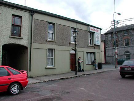
shop/retail outlet298 yd

Explorer Tom Shop or retail outlet in Kilbeggan is on the market square, pretending it hasn’t changed jobs in two hundred years. It…
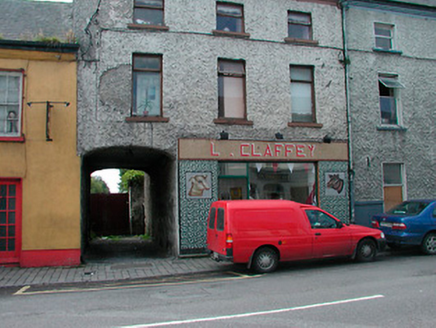
L. ClaffeyHouse · 309 yd

Explorer Tom L. Claffey in Kilbeggan has a retirement plan that involves sitting on Main Street and judging everyone who walks past…
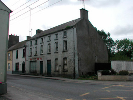
KellyHouse · 320 yd

Explorer Tom Kelly house in Kilbeggan is famous for the poet who fell into the ditch right outside its front door and never…
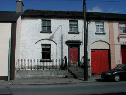
Step HouseHouse · 328 yd

Explorer Tom Step House in Kilbeggan hosted a fiddler who played all night until his fingers bled, and now the walls just hum with…
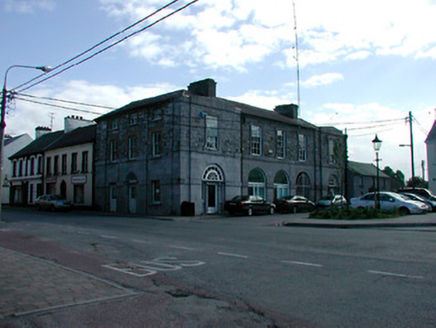
Kilbeggan CourthouseCourt house, market house · 328 yd

Explorer Tom Kilbeggan Courthouse is standing in the square like a proud old uncle who lost his job but kept the title. The stone is…
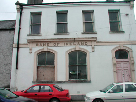
Bank of IrelandBank/financial institution · 334 yd

Explorer Tom The Bank of Ireland in Kilbeggan is named after a bank, but really it just means 'we kept your money while the economy…

Kilbeggan DistilleryStore/warehouse · 334 yd

Explorer Tom Kilbeggan Distillery is a former corn store from around 1900 that definitely saw some dramatic events, like a bag of…

Kilbeggan Shamrocks GAA pitchGAA ground · 801 yd

More historic places in County Westmeath · All of County Westmeath

Add to this placeAdd a picture Add a detailed tip Add a story

Explore the map1,095,414 places to discover

Next place · or swipemill (water)