
Places near here
Photo credits
- David Farrell Photography / Western People, www.westernpeople.ie
- National Inventory of Architectural Heritage
- Golfing in Ireland; photographer not stated, Source publisher
- Aghamore GAA Club; individual photographer not stated, aghamoregaaclub.com
- David Purchase, Geograph · Creative Commons Attribution-ShareAlike 2.0
- James Killeen / Mayo Football Talk, www.mft.ie
- Maker not stated on source page, allthatsinteresting.com
- Mike Searle, Wikimedia Commons · CC BY-SA 2.0
- Willow, Wikimedia Commons · CC BY 2.5
- Maker not stated on source page, www.dreamstime.com
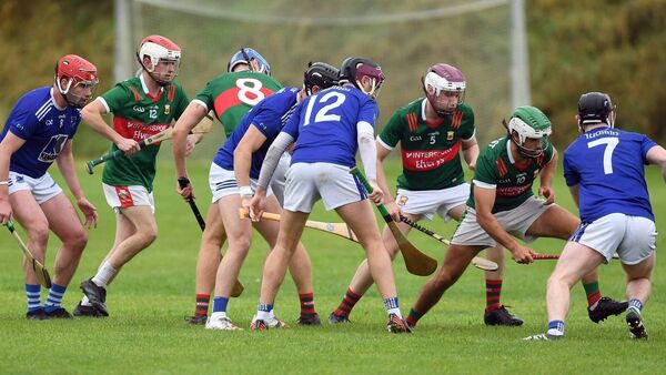 Adrian Freeman Memorial Park, Tooreen GAAGAA ground · 1293 yd
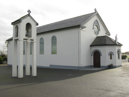 Catholic Church of Saint Mary and Saint MichaelChurch/chapel · 1381 yd
Explorer Tom Catholic Church of Saint Mary and Saint Michael in Cloongawnagh refuses to fall down because it’s too proud of its…
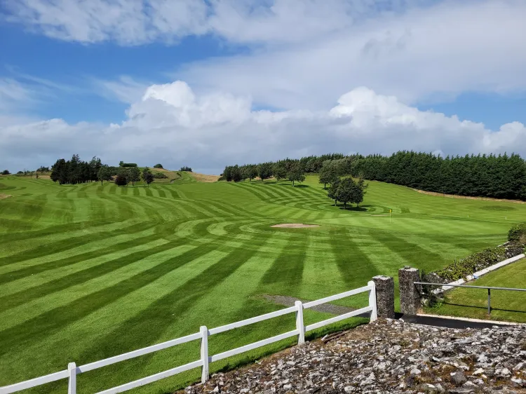 Ballyhaunis Golf ClubGolf course · 1.6 mi
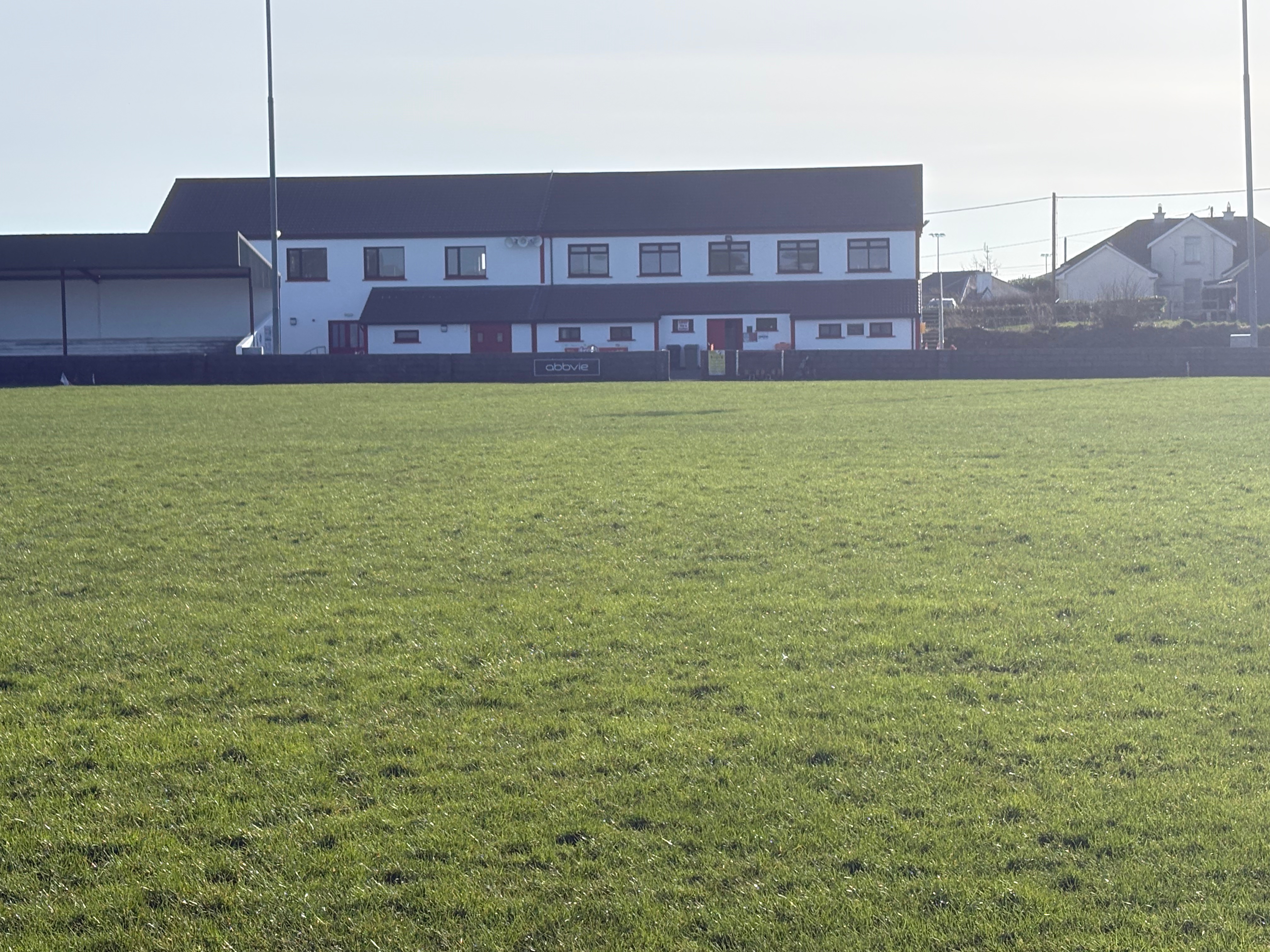 Aghamore Pitch, Aghamore GAAGAA ground · 2.4 mi
 Grave YardGraveyard · 2.6 mi
Explorer Tom Graveyard in Aghamore would post a photo of its mossy headstones with the caption 'Living my best quiet life…
 Ballyhaunis GAA ParkGAA ground · 3.9 mi
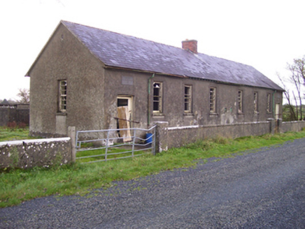 Brooklawn National SchoolSchool · 18 mi
Explorer Tom Brooklawn National School would say in a job interview that it’s 'experienced' because it’s been standing since the…
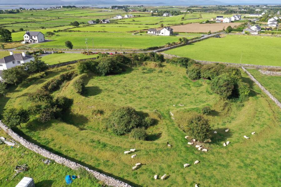 Fairy fort / earthen ringfort in LissaleenFairy fort / earthen ringfort · 18 mi
Explorer Tom Fairy fort / earthen ringfort in Lissaleen has no info, so I’ll say it was where the locals hid their potato stash…
 Fartamore Castle (ruins)Castle · 18 mi
Explorer Tom Fartamore Castle is in ruins, which means it’s officially allowed to look a bit messy without anyone complaining about…
 Fartamore Castle in ruinsCastle, tower house · 18 mi
Explorer Tom Fartamore Castle in ruins has a family tree that’s mostly made up, but the name does suggest some serious flatulence…
 European ash20 mi
Explorer Tom European ash remembers when the builder was thinking about putting a swing here but decided against it because of the…
 Kilbannon CemeteryGraveyard · 20 mi
Explorer Tom Kilbannon Cemetery is haunted by a fiddler who played all night until his fingers turned into wooden spoons. The locals…
More archaeology and monuments in County Mayo · All of County Mayo

What do you know about this place?Tap to add a comment or ask a question