
What is recorded here
Triple-arch road bridge over River Bride, built c. 1860. Coursed limestone and sandstone rubble walls. Segmental arches having cut limestone voussoirs, with V-cutwaters to upstream elevation. Coursed rubble stone parapets having render copings. Coursed rubble stone abutment walls to south side, with buttressing.
This substantial road bridge is a reminder to the engineering achievements and the quality of local craftsmanship in the mid- nineteenth century. The V-cutwaters to the upstream elevation are an engineering feature designed to pre-empt any undermining of foundations by flood waters. The coursed rubble stone walls form a contrast with the cut-stone voussoirs. The buttressing of the road side walls is an indication of the heavy traffic this bridge has experienced through its history.
This does not grant access. Most recorded buildings are privately owned; view them only from public ground unless the owner allows entry.
Places near here
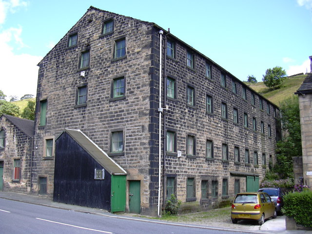 Tuck Mill (Disused)Mill, fulling · 165 yd
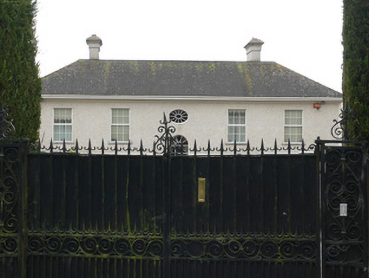 Bridestown Housecountry house · 884 yd
 Graveyard in Killuntin NorthGraveyard · 1483 yd
 Castle (in Ruins)Castle, unclassified · 1.1 mi
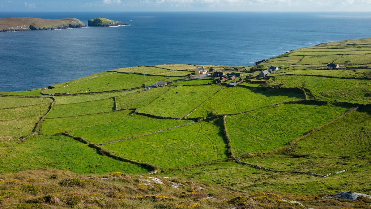 IndicatedFairy fort / earthen ringfort · 1.3 mi
 Grave Yard (Disused)Graveyard · 1.3 mi
 Graveyard in GlenvilleGraveyard · 2.1 mi
 Cappagh XViewpoint · 3.9 mi
 Devonshire's HillMountain / peak · 4.1 mi
 Castle (Site of)Castle, unclassified · 4.4 mi
 Rathcormac massacremassacre · 4.7 mi
 Monananig WoodsWood · 4.8 mi
Other information
Photo: National Inventory of Architectural Heritage · Website use allowed for educational or private purposes with source credit