What is recorded here
Coastal mining complex c.1km NW of Allihies. Indicated on OS 6-inch map (1842) as Engine Ho. Remains of foundations of engine house built adjacent to mineshaft. Stump of free-standing chimney (diam. 3.83m; H 2.6m) to NW of engine house. Sub-rectangular earthen banked reservoir to NW.
From the National Monuments Service (Archaeological Survey of Ireland) record CO114-022002
The monument record does not grant public access. Check the route and ask the landowner before entering private land.
- What survives
- Recorded monument
Places near here
Photo credits
- John M, Geograph · CC BY-SA 2.0
- National Inventory of Architectural Heritage
- This Photo was taken by Timothy A. Gonsalves . Feel free to use my photos, but please mention me as the author. I would much appreciate if you send me an email tagooty@yahoo.com or write on my talk page , for my information. Please contact me before commercial use. Please do not upload an edited image here without consulting me. I would like to make corrections only at my own source to ensure that the changes improve the image and are preserved. Otherwise you may upload an edited image with a new name. Please use one of the templates derivative or extract ., Wikimedia Commons · CC BY-SA 4.0
- Jonathan Thacker, Wikimedia Commons · CC BY-SA 2.0
- Julian Paren, Geograph · CC BY-SA 2.0
- Richard Webb, Geograph · CC BY-SA 2.0
 DooneenViewpoint · 120 ydPromontory fortPromontory fort, coastal · 137 ydEnclosure in AllihiesEnclosure · 145 ydBlue IslandsIslet · 742 ydBlue IslandsIslet · 1135 yd
 Allihies Language SchoolSchool · 1227 yd
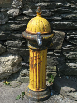 water pump1242 yd
 Allihies Copper Mine MuseumMuseum · 1299 yd
 KnocknagallaunMountain / peak · 1569 yd
 Ballydonegan StrandBeach / strand · 1.1 miCaherkeen Mass RockHeritage attraction · 1.5 mi
 Eagle HillMountain / peak · 1.6 mi
More archaeology and monuments in County Cork · All of County Cork
What do you know about this place?