What is recorded here
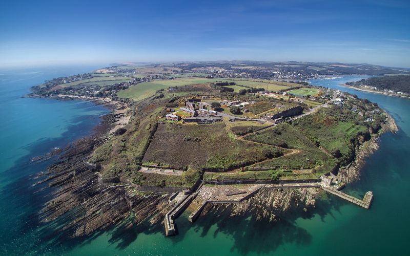
Dooneen still juts west into the Cork sea, named for a fort that may never have been seen because copper mining tore the promontory open in the early nineteenth century. The cliffs remain tall on three sides, but the east end is blocked by mining waste and an abandoned shaft, as if the land refused to give back what it had hidden. Any rampart, gate or living memory was likely broken up for metal, leaving behind a place whose greatest feature is its own erasure.
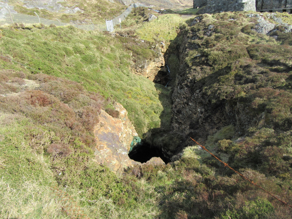
On a rocky promontory, jutting W into the sea, with tall cliffs on its S, W and N sides. This promontory is named Dooneen on the 1897-1909 OS 6-inch map and is still known locally as such. The Doon [Dún] element in the name suggests that there may have been a promontory fort here. The promontory and its environs was mined for copper in the early 19th century and any traces of the fort would have been destroyed at that time. An abandoned mineshaft and mining waste occupy the E end of the promontory.
The above description is derived from 'The Archaeological Inventory of County Cork. Volume 5' (Dublin: Stationery Office, 2009).
Date of upload: 22 December 2009
The monument record does not grant public access. Check the route and ask the landowner before entering private land.
- What survives
- Recorded monument
Places near here
 Industrial chimney in AllihiesIndustrial chimney · 53 yd
 DooneenViewpoint · 97 yd
 Copper Mine (Disused )Mining complex · 137 yd
 Old Copper MineRuins · 158 yd
 Enclosure in AllihiesEnclosure · 233 yd
 Blue IslandsIslet · 607 yd
 Allihies Copper Mine MuseumMuseum · 1408 yd
 KnocknagallaunMountain / peak · 1583 yd
 Black RocksIslet · 1.1 mi
 Ballydonegan StrandBeach / strand · 1.1 mi
 Eagle HillMountain / peak · 1.5 mi
 Caherkeen Mass RockHeritage attraction · 1.5 mi
Other information
Photo: Credit not shown in the picture search · Rights wording not checked; contact us if this picture should be removed