
What is recorded here
This page uses the checked exact public identity for Cooley Mountains. For a large lake, park or mountain range, the map point marks the named place as a whole.
The Cooley Mountains reach a maximum elevation of approximately 563 meters at Slieve Foy, with prominent granite and limestone formations shaping their rugged landscape. They form a natural border between Ireland and Northern Ireland, holding historical and strategic significance since ancient times.
Check current access, opening information and local safety conditions before going.
Places near here
 Long Woman's GraveArchaeological place · 977 yd
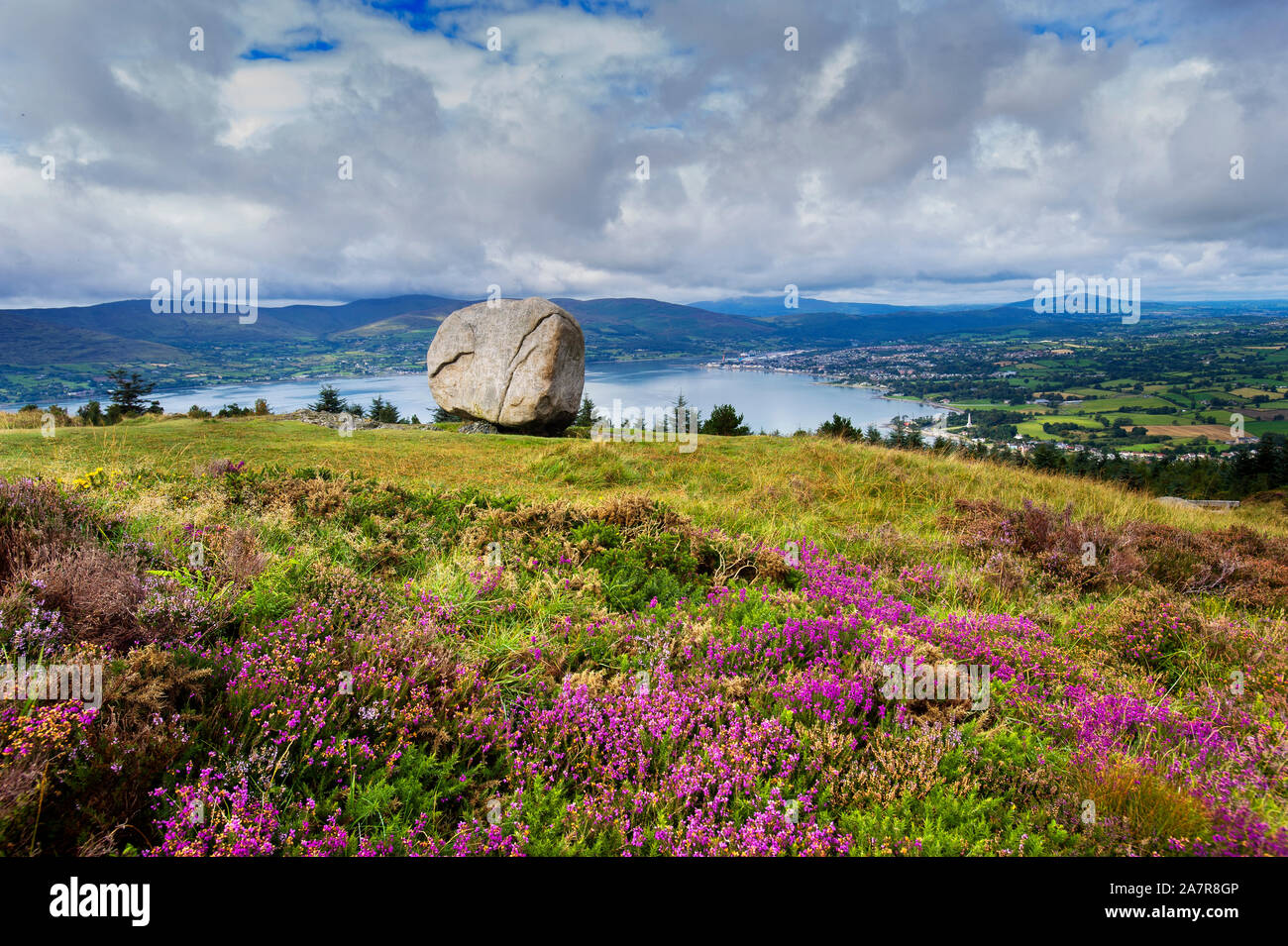 CloughmoreMass-rock · 1394 yd
 The Foxes RockMountain / peak · 1480 yd
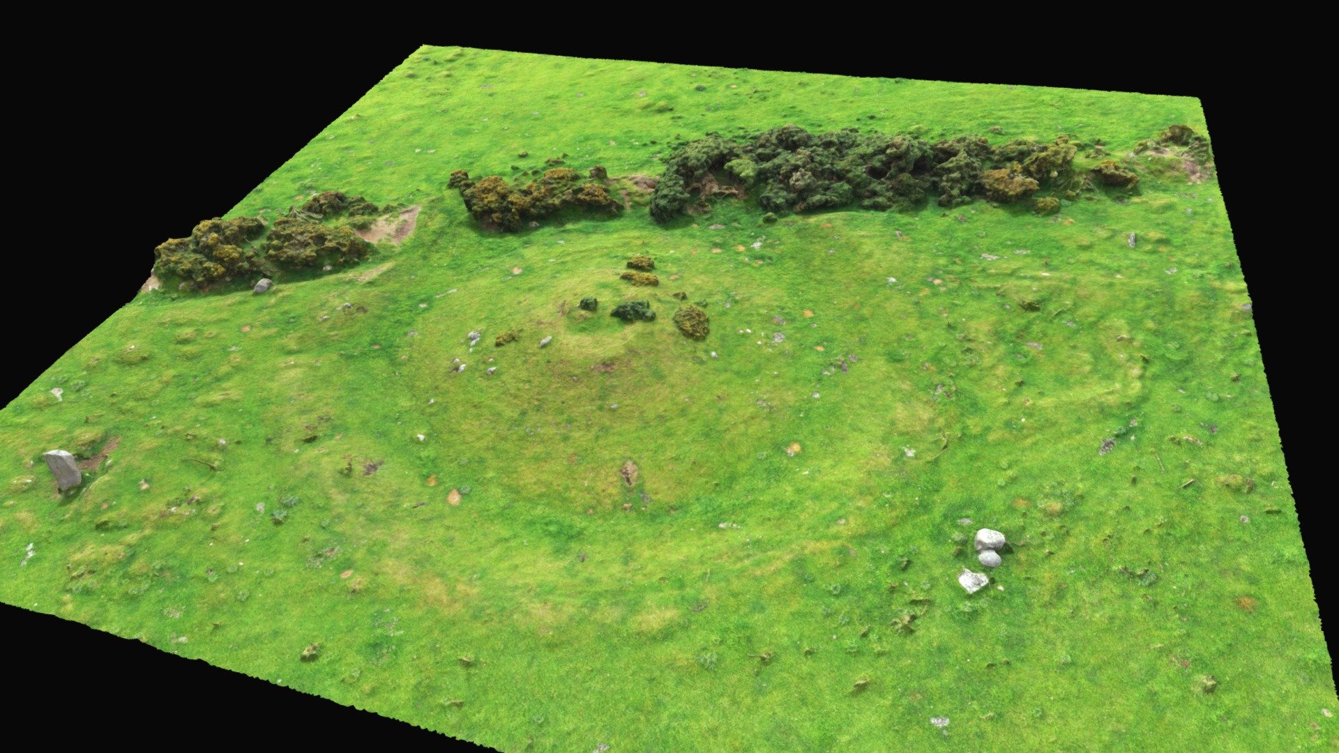 Hut site in BallinteskinHut site · 1.1 mi
 The Ravens RockMountain / peak · 1.2 mi
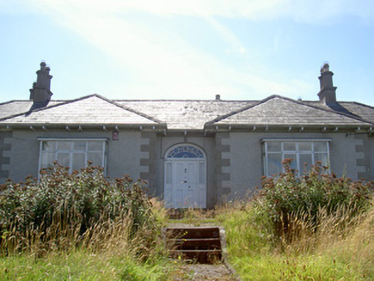 Nucella Lodgehouse · 2.3 mi
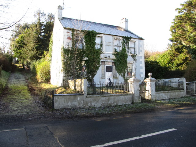 Oberon Villahouse · 2.3 mi
 Carlingford - Slieve Foye LoopWalking route · 3.0 mi
 Proleek DolmenArchaeological place · 3.2 mi
 Ravensdale ForestForest · 3.3 mi
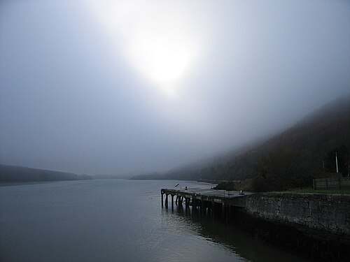 Carlingford LoughSea lough and mountain landscape · 3.4 mi
 Ravensdale LoopWalking route · 3.4 mi
Other information
Photo: Eoghan OLionnain · CC BY-SA 2.0