What is recorded here
Located at the bottom of a slight NW-facing slope, at the junction with a level landscape. The well is marked on the 1839 and 1925 eds of the OS 6-inch map, and described in italic lettering on both as Coolbeg Well – the well of the little wood (?), Coill. It might also derive from Tobar na Cúlóige - the well of An Chúlóg (recess) (pers. comm. C. Ó Crualaoich). It had been lost for many years but was re-discovered by the owner and is now a place of spiritual healing. It is a natural spring (dims. c. 5m NW-SE; c. 1.5m NE-SW), now lined with stones and crossed by a wooden bridge. It is the source of a small stream that runs NW to a NE-SW stream c. 120m distant.
Compiled by: Michael Moore
Date of upload: 31 October, 2012
The monument record does not grant public access. Check the route and ask the landowner before entering private land.
- What survives
- Recorded monument
Places near here
 Misterin Housefarm house · 361 yd
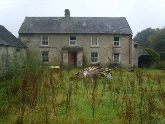 farm housefarm house · 910 yd
 ToherpatrickHoly well · 1141 yd
 Cross in RaheenaclonaghCross · 1651 yd
 Carrickbyrne HillMountain / peak · 1.4 mi
 Glenour MonumentMemorial · 1.6 mi
 Castle in ruinsCastle, tower house · 1.9 mi
 Castle (in ruins)Castle, tower house · 1.9 mi
 Carrickmastia HillMountain / peak · 1.9 mi
 Coolcliffe HouseRuins · 6.3 mi
 Tinnakeenly BogForest · 17 mi
 High HillForest · 18 mi