What is recorded here
In very wet low-lying terrain c. 200m W of River Suir, in pasture. On the 1st (1840) ed. OS 6-inch map this monument is depicted as an enclosure (diam. c. 35-37m) which is enclosed from ESE-N by an outer enclosure (diam. c. 72m), the bank of which meets the bank of the inner enclosure in the N quadrant. Another, slightly smaller, enclosure (diam. c. 30m) is depicted immediately to the E, conjoined with the inner enclosure. On the subsequent 1903 ed. it is depicted as an oval enclosure (diam. c. 39m N-S; c. 35m E-W) with an outer enclosure which is separated by a gap of 13.5m to the S and 18m to the E and W. The N quadrant of the outer bank from WNW-N-NE is not shown, implying it had been levelled when surveyed. The inner enclosure is defined by a bank from SE-S-NW and by scarp from NW-N-SE with a stream skirting the outer edge of the scarp. This stream, which feds into a canalised water course to the SW, runs in an irregular circuit through the monument. The outer enclosure is defined by a bank from NE-S-SW and by scarp from SW-NW. At the NW the scarp turns eastward to run into the NW sector of the inner enclosure. This monument has been levelled, with only a slight rise (H 0.3m) in the E quadrant surviving above ground.
Compiled by: Jean Farrelly
Date of upload: 5 December 2011
The monument record does not grant public access. Check the route and ask the landowner before entering private land.
- What survives
- Recorded monument
Places near here
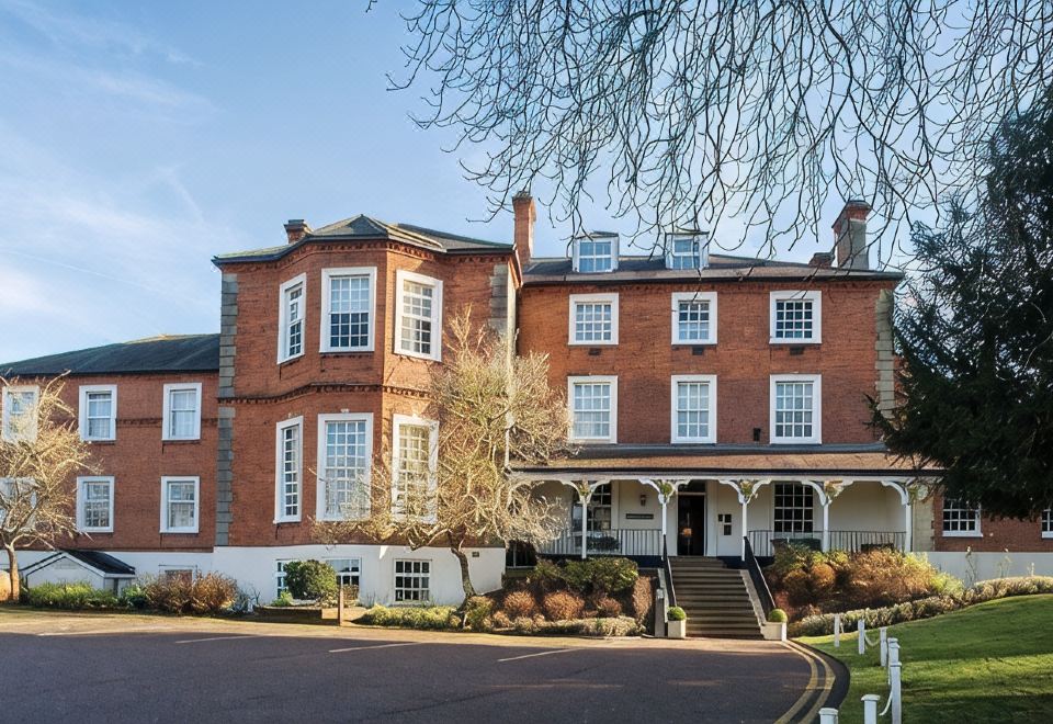 Enclosure in LongfieldEnclosure · 189 yd
 Indicated, RaheenbegCastle, ringwork · 801 yd
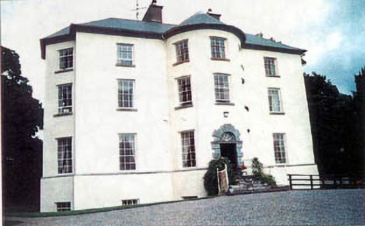 Longfield Housecountry house · 836 yd
 Enclosure in MonalumperaEnclosure · 1103 yd
 Nodstown CastleCastle, tower house · 1461 yd
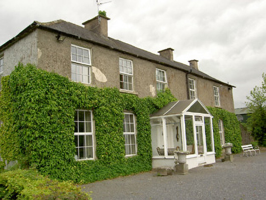 Ardmayle Housecountry house · 1531 yd
 Clonoulty HillMountain / peak · 2.8 mi
 Ballyknock HillMountain / peak · 3.9 mi
 Drum WoodWood · 4.3 mi
 Rock of CashelHeritage attraction · 4.4 mi
 Wych ElmWych Elm · 4.4 mi
 Cormac's ChapelHeritage attraction · 4.4 mi