What is recorded here
Marked as a hachured feature (diam. c. 45m) only on the 1940 ed. of the OS 6-inch map, and situated on a relatively level, low-lying landscape. The central enclosure was recorded in 1940 as a circular rath (diam. c. 22m) defined by a low bank (Wth c. 6m; int. H c. 0.5-1m; ext. H c. 3m) and outer fosse (Wth of top c. 12m; ext. D c. 1-1.5m) (max. ext. diam. c. 45m) (OSFM). The inner enclosure is visible as a cropmark on aerial photograph (CUCAP: AYJ 75) and is visible on the surface as an arc of a vegetation mark NW–E (C c. 30m). The aerial photograph also shows the cropmark of an outer circular enclosure (diam. c. 100m) NW-SE, overlain on the E side by the cropmark of a D-shaped enclosure (dims. c. 30m N–S; c. 30m E–W) with the straight side at N. These features are also visible on aerial photographs (MM (53) 25-7) and on the OSI series of aerial photographs (2005). it is also visible on Google Earth (14/07/2018) as reported by Simon Dowling. See the attached view from Google Earth (2018)
The above description is derived from the published 'Archaeological Inventory of County Wexford' (Dublin: Stationery Office, 1996).
Marked as a hachured feature (diam. c. 45m) only on the 1940 ed. of the OS 6-inch map, and situated on a relatively level, low-lying landscape. The central enclosure was recorded in 1940 as a circular rath (diam. c. 22m) defined by a low bank (Wth c. 6m; int. H c. 0.5-1m; ext. H c. 3m) and outer fosse (Wth of top c. 12m; ext. D c. 1-1.5m) (max. ext. diam. c. 45m) (OSFM). The inner enclosure is visible as a…
From the National Monuments Service (Archaeological Survey of Ireland) record WX007-023001
The monument record does not grant public access. Check the route and ask the landowner before entering private land.
- What survives
- Recorded monument
Places near here
Photo credits
- National Inventory of Architectural Heritage
- Sarah777 at English Wikipedia, Wikimedia Commons · Public domain
- Smirkybec, Wikimedia Commons · CC BY-SA 4.0
- Ryanforsyth9, Wikimedia Commons · CC BY-SA 4.0
- Lucarelli, Wikimedia Commons · CC BY-SA 3.0
- Ian Brooker and David Kleinig, Wikimedia Commons · CC BY 3.0 au
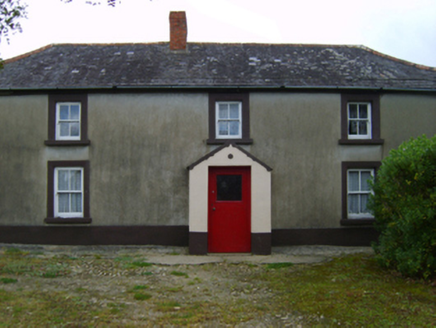 farm house678 ydFulacht fia in BallyloughanFulacht fia · 975 ydEnclosure in BallyloughanEnclosure · 1103 ydKia Ora Mini FarmHeritage attraction · 1585 yd
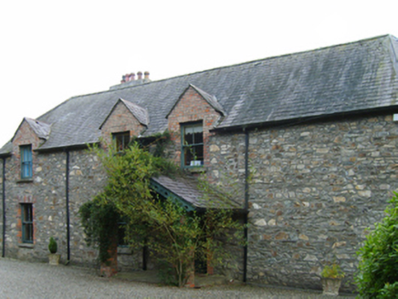 Clonattin HouseHouse · 1.2 mi
 Tara HillMountain / peak · 1.6 miCastleCastle, unclassified · 1.6 mi
 Market HouseHeritage attraction · 2.0 mi
 1798 MonumentMemorial · 2.4 miDuffcarrig Rocks BeachBeach / strand · 2.4 mi
 Holm Oak2.6 mi
 Johnston's gum2.7 mi
More archaeology and monuments in County Wexford · All of County Wexford
What do you know about this place?