What is recorded here
Situated on a level landscape. The cropmark of a bivallate circular enclosure (int. diam. c. 45m; ext. diam. c. 80m) defined by a wider inner fosse feature (Wth c. 3m) and slighter outer fosse feature is visible on aerial photographs (ASIAP (3) 33-37). There is a subrectangular enclosure (dims c. 30m NW-SE; c. 15m NE-SW) defined by a slight fosse feature inside the inner enclosure, No entrances can be detected, but a drain or narrow stream connects the defining features radially at NW and a similar feature connects them at SSE and extends further in this direction.
Compiled by: Michael Moore
Date of upload: 18 February, 2014
The monument record does not grant public access. Check the route and ask the landowner before entering private land.
- What survives
- Recorded monument
Places near here
 Trinity WellHoly well · 255 yd
 Sweetbrier LodgeRuins · 658 yd
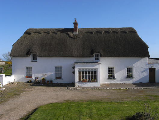 Barry Housefarm house · 891 yd
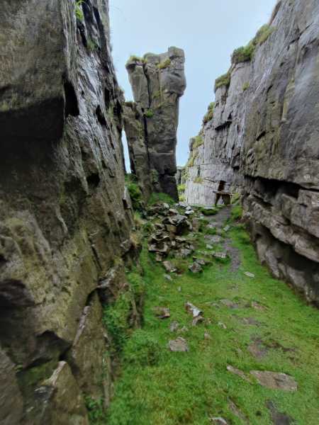 Mass-rock in TomhaggardMass-rock · 1618 yd
 The White Hole BeachBeach / strand · 1.0 mi
 1798 Memorial PlaqueMemorial · 1.1 mi
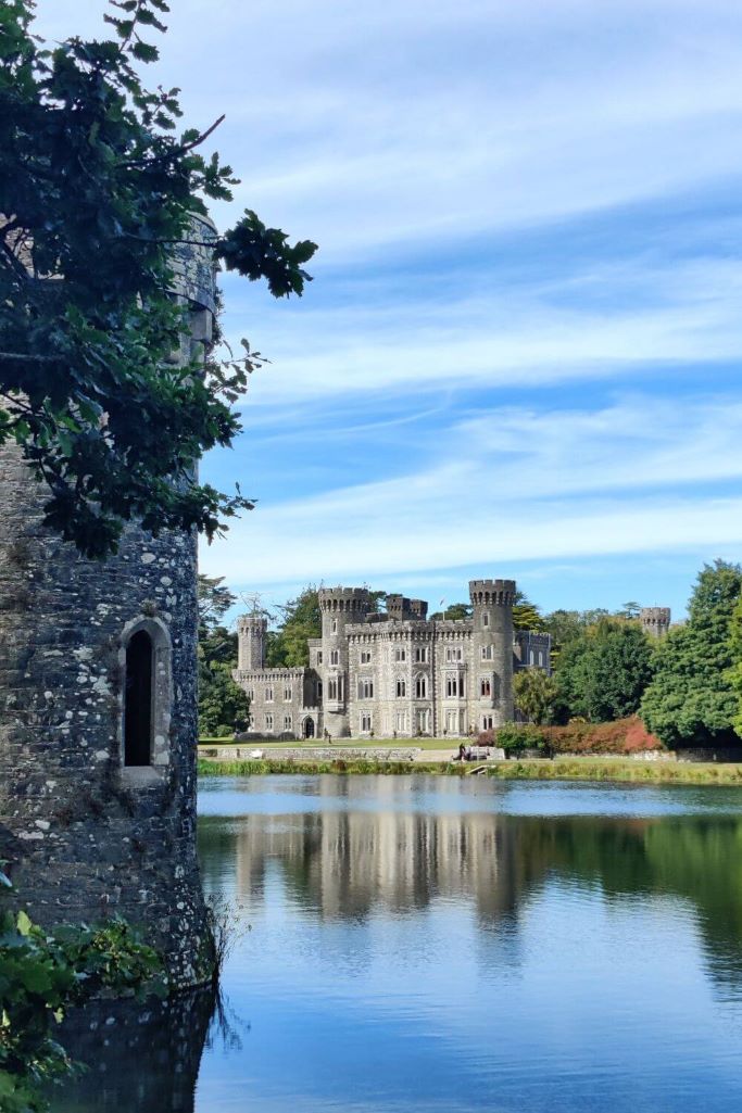 CastleCastle, tower house · 1.2 mi
 Castle (in ruins)Castle, tower house · 1.2 mi
 Ballyhealy BeachBeach / strand · 1.3 mi
 The Bull RockForest · 1.6 mi
 The Heron's MeadowForest · 1.7 mi
 The HamBay · 2.0 mi