What is recorded here
Situated at the crest of a S and E-facing slope. The cropmark of a large subcircular enclosure (dims. c. 85m x c. 80m) defined by a ditch-feature is within a larger enclosure (diam. c. 120m) defined by a narrower ditch feature NW-E, its perimeter being incorporated into field banks or drains elsewhere. There is a scar of what may be a quarry breaching the perimeter of both enclosures at SE and extending towards the centre with a turn to the W (L c. 60m). The enclosure is visible on aerial photographs (WX003-043_1A-10A) taken in 2006 and on an OSI series of areial photographs (1995, 2000).
Situated at the crest of a S and E-facing slope. The cropmark of a large subcircular enclosure (dims. c. 85m x c. 80m) defined by a ditch-feature is within a larger enclosure (diam. c. 120m) defined by a narrower ditch feature NW-E, its perimeter being incorporated into field banks or drains elsewhere. There is a scar of what may be a quarry breaching the perimeter of both enclosures at SE and extending towards…
From the National Monuments Service (Archaeological Survey of Ireland) record WX003-043
The monument record does not grant public access. Check the route and ask the landowner before entering private land.
- What survives
- Recorded monument
Places near here
Photo credits
- National Inventory of Architectural Heritage
- surrealpenguin, Wikimedia Commons · CC BY-SA 2.0
- Ian Brooker and David Kleinig, Wikimedia Commons · CC BY 3.0 au
- Jonathan Billinger, Wikimedia Commons · CC BY-SA 2.0
- Sarah777, Wikimedia Commons · CC BY-SA 2.0
- en:User:Poccil (SVG file), Wikimedia Commons · Public domain
- 瑞丽江的河水, Wikimedia Commons · CC BY-SA 4.0
- Malone0, Wikimedia Commons · CC BY-SA 4.0
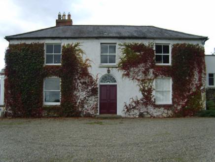 KnockbawnFarm house · 527 yd
 Ram HouseHouse · 621 yd1798 Rebellion MonumentMonument · 689 ydCastleCastle, unclassified · 809 ydWhite Heaps 1798Memorial · 2.5 mi
 Persian Walnut2.7 mi
 Johnston's gum3.2 mi
 Monalee HillMountain / peak · 3.8 mi
 Arklow RockMountain / peak · 4.0 mi
 Battle of ArklowBattle · 4.1 mi
 The CoveBeach / strand · 4.4 mi
 Grave Yard (Disused)Graveyard · 4.6 mi
More archaeology and monuments in County Wexford · All of County Wexford
What do you know about this place?