What is recorded here
Voted one of Ireland’s favourite walking destinations. This route is a challenging 1.6km linear trail close to Bloody Bridge, and lets walkers get closer to the mostly inaccessible stretch of coast linking ‘true’ mountain with open sea.
- Operator
- National Trust
- Distance
- 3.2
Places near here
 CHURCH (in ruins); GRAVEYARD and ENCLOSURE: ST.MARY'S or BALLACHANERY or BLOODY BRIDGE in Ballaghanery UpperCHURCH (in ruins); GRAVEYARD and ENCLOSURE: ST.MARY'S or BALLACHANERY or BLOODY BRIDGE · 387 yd
 Bloody Bridge (new)Bridge · 625 yd
 Bloody Bridge, (old)Bridge · 673 yd
 LeganabruchanMountain / peak · 1.4 mi
 CrossoneMountain / peak · 1.5 mi
 Drinneevar LoopWalking route · 1.8 mi
 The Bogie LineWalking route · 2.0 mi
 MULTIPLE CIST CAIRN: LESSER CARN in Ballaghbeg; Ballyaghanery UpperMULTIPLE CIST CAIRN: LESSER CARN · 2.1 mi
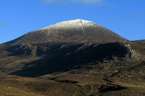 Slieve DonardMountain / peak · 2.1 mi
 SS Great BritainVisitor information · 2.3 mi
 Black StairsWaterfall · 2.3 mi
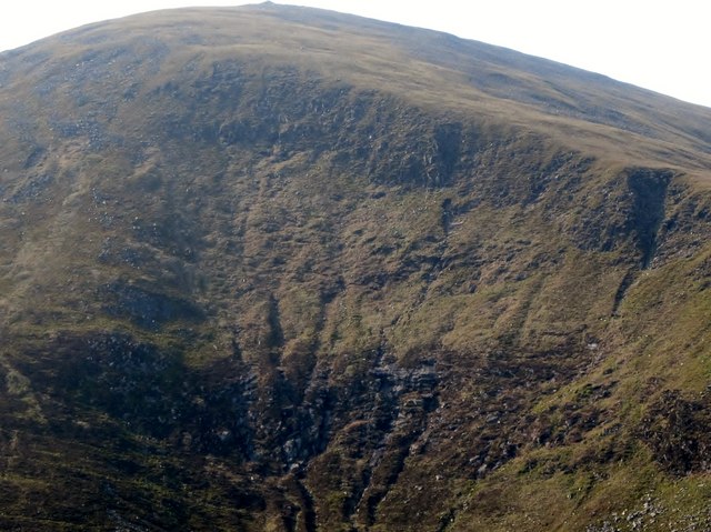 Eagle RockCliff · 2.3 mi