
What is recorded here
Three names claim one ruined church in County Down: St.Mary's, Ballachanery, and Bloody Bridge. The graveyard and enclosure still mark the ground where MED/L.MED worship left its bones. Whatever bridge bled or woman was honoured, the stones kept the argument alive long after the roof fell.
The official Northern Ireland record identifies this as CHURCH (in ruins); GRAVEYARD and ENCLOSURE: ST.MARY'S or BALLACHANERY or BLOODY BRIDGE. Recorded period: MED/L.MED. Recorded protection: Scheduled. The official map point was placed at the centre of the recorded archaeological site from the source map reference.
The monument record does not grant public access. Check the route and ask the landowner before entering private land.
- What survives
- Recorded monument
Places near here
 Bloody Bridge (new)Bridge · 240 yd
 Bloody Bridge, (old)Bridge · 286 yd
 LeganabruchanMountain / peak · 1.2 mi
 CrossoneMountain / peak · 1.3 mi
 Drinneevar LoopWalking route · 1.6 mi
 The Bogie LineWalking route · 1.8 mi
 MULTIPLE CIST CAIRN: LESSER CARN in Ballaghbeg; Ballyaghanery UpperMULTIPLE CIST CAIRN: LESSER CARN · 1.9 mi
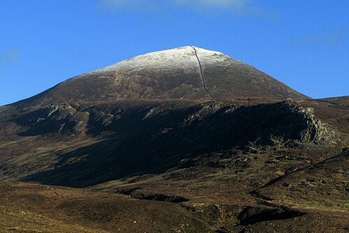 Slieve DonardMountain / peak · 2.0 mi
 SS Great BritainVisitor information · 2.1 mi
 Black StairsWaterfall · 2.1 mi
 Donard ForestForest · 2.2 mi
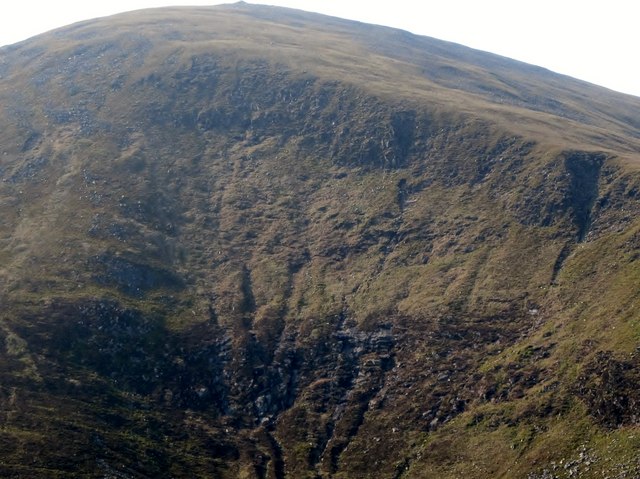 Eagle RockCliff · 2.2 mi
Other information
Photo: Eric Jones · CC BY-SA 2.0