
What is recorded here
From OpenStreetMap (© OpenStreetMap contributors) n793619727
Places near here
Photo credits
- Rossographer, Geograph · CC BY-SA 2.0
- National Inventory of Architectural Heritage
- Maker not stated on source page, commons.wikimedia.org
- Wanfried-Dublin, Wikimedia Commons · CC BY-SA 4.0
- Maker not stated on source page, www.pinterest.com
- Maker not stated on source page, slavtradition.com
- Maker not stated on source page, en.wikipedia.org
- Kenneth Allen, Geograph · CC BY-SA 2.0
- Donegal Daily; individual photographer not named on the article, www.donegaldaily.com
- Golfing in Ireland; photographer not stated, Source publisher
 MagheraroartyOfficial bathing water · 1.0 mi
Explorer Tom Magheroarty Beach has a ferry pier next door and an ocean beyond it, so it can make you feel as if every horizon is…
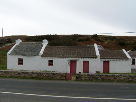 Teach Mhicí Mac GabhannHouse · 1.2 mi
Explorer Tom Teach Mhicí Mac Gabhann is thatched with rope like it’s got a very fancy hairstyle that takes hours to maintain. If it…
 Fairy fort / stone ringfort in Boyle's IslandFairy fort / stone ringfort · 1.4 mi
Explorer Tom Fairy fort / stone ringfort in Boyle's Island is an oval ghost on a map, likely resembling other cashels but never…
 Dermot and Granias Bed (1905).Portal tomb · 1.6 mi
Explorer Tom Take a look at Dermot and Granias Bed (1905), a portal tomb tucked into the garden of a house near Ballyness Bay.…
 outbuilding1.9 mi
Explorer Tom Outbuilding in Ards Beg, built around 1910, has a Roshine slate roof over roughly squared rubble walls. It looks as…
 An Ardaidh Mhór Burial GroundBurial ground · 2.2 mi
Explorer Tom An Ardaidh Mhór Burial Ground sits on a gentle slope overlooking the Glenna River estuary, which is honestly a prime…
 Bullaun stone in An Ardaidh MhórBullaun stone · 2.2 mi
Explorer Tom Bullaun stone in An Ardaidh Mhór is just a name for me right now, but I’m imagining it’s hiding a secret under its…
 Former Rinnafadda Burial GroundBurial ground · 2.3 mi
Explorer Tom Former Rinnafadda Burial Ground used to sit on a promontory jutting into the Glenna River estuary, but now there’s…
 Ostan Loch AltanHotel · 2.5 mi
Explorer Tom Ostan Loch Altan along the N56 pretends to be grand but looks like a haunted shed with delusions of grandeur. Grab me a…
 Maggie Dan'sRestaurant · 2.5 mi
Explorer Tom Maggie Dan’s serves pizza, which is basically bread and cheese pretending to be Italian, and I bet the bargain that…
 Páirc Naomh Fionnán, Cloughaneely GAAGAA ground · 3.7 mi
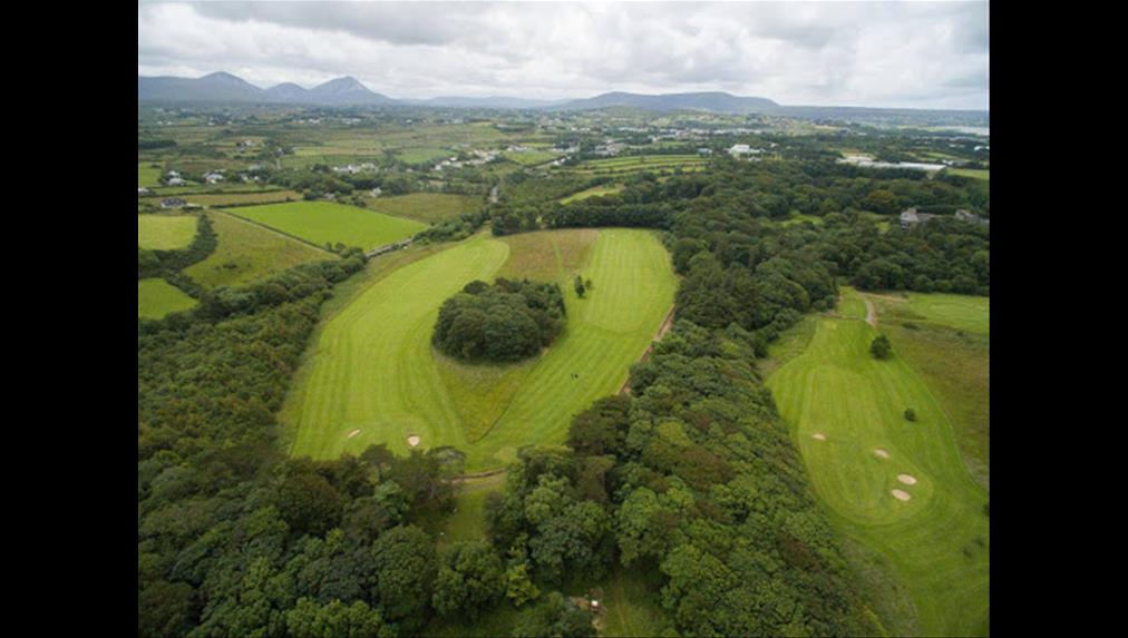 Cloughaneely Golf ClubGolf course · 3.8 mi
More mountains and hills in County Donegal · All of County Donegal

What do you know about this place?Tap to add a comment or ask a question