What is recorded here
No graveyard marker remains on the chart, yet the lost ground still stands where a narrow strip of land pushes east into the Glenna River. That is the shape of Rinnafadda now: a forgotten edge, water-worn and unnamed, holding whatever the tide has not taken.
There is now no definite trace of Rinnafadda Graveyard marked on the 2nd and 3rd editions of the OS 6-inch maps. It was located on a promontory jutting E into the estuary of the Glenna River.
The above description was derived from the 'Archaeological Survey of County Donegal. A description of the field antiquities of the County from the Mesolithic Period to the 17th century.' Compiled by: Brian Lacey with Eamon Cody, Claire Cotter, Judy Cuppage, Noel Dunne, Vincent Hurley, Celie O'Rahilly, Paul Walsh and Seán Ó Nualláin (Lifford: Donegal County Council, 1983). In certain instances the entries have been revised and updated.
Date of upload: 22 September 2008
The monument record does not grant public access. Check the route and ask the landowner before entering private land.
- What survives
- Recorded monument
Places near here
 Teach Pobail Chríost Rí [Catholic Church of Christ the King]church/chapel · 299 yd
 Gortahork Inland Promontory FortPromontory fort, inland · 498 yd
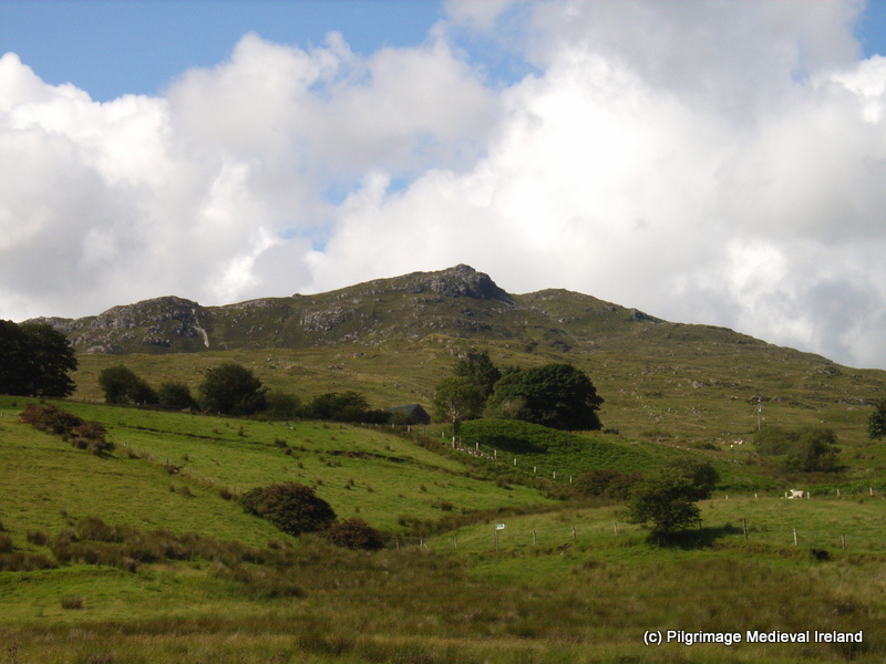 St. Columbkilles WellHoly well · 590 yd
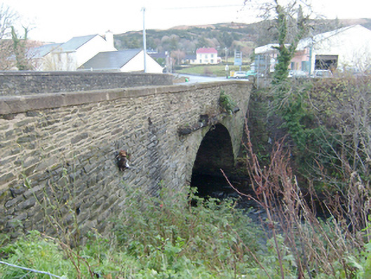 Droicheadh Bhedlam [Bedlam Bridge]bridge · 699 yd
 Castle Bawne (in Ruins)Bawn · 1.2 mi
 MagheraroartyOfficial bathing water · 2.1 mi
 Monterey CypressMonterey Cypress · 2.3 mi
 Wych ElmWych Elm · 2.4 mi
 Trá Dhroim na TineBeach / strand · 3.0 mi
 Inis Bó FinneIsland · 4.0 mi
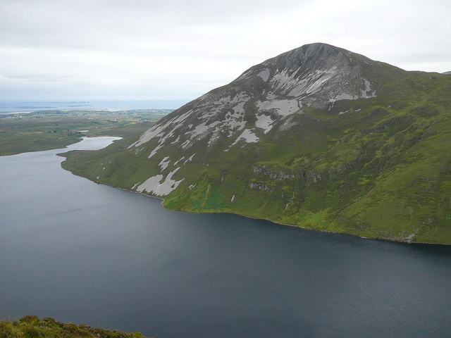 Aghla MoreMountain / peak · 4.7 mi
 Oileán DúicheIslet · 4.9 mi