
What is recorded here
A low grassed-over bank running E-W cuts off a spur of land jutting to the N. On the W and N the spur has a sheer edge and on the E side a steady fall to lower ground. It narrows somewhat from S to N and measures c. 12m across E-W at about mid-way. The area so cut off measures c. 29m N-S. About 16m to the N from and parallel to the bank on the S is a similar but slighterbank c. 2m wide and not exceeding .3m high which also spans the width of the promontory. To the N of this a slight bank has been built along the perimeter edge of the spur on the NW. Sited on an elevated spur in grazing land from which there are extensive views over lower ground to the N and W. The site is known locally as a 'cashel'.
The above description was derived from the 'Archaeological Survey of County Donegal. A description of the field antiquities of the County from the Mesolithic Period to the 17th century.' Compiled by: Brian Lacey with Eamon Cody, Claire Cotter, Judy Cuppage, Noel Dunne, Vincent Hurley, Celie O'Rahilly, Paul Walsh and Seán Ó Nualláin (Lifford: Donegal County Council, 1983). In certain instances the entries have been revised and updated.
Date of upload: 22 September 2008
The monument record does not grant public access. Check the route and ask the landowner before entering private land.
- What survives
- Recorded monument
Places near here
 Teach Pobail Chríost Rí [Catholic Church of Christ the King]church/chapel · 220 yd
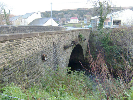 Droicheadh Bhedlam [Bedlam Bridge]bridge · 702 yd
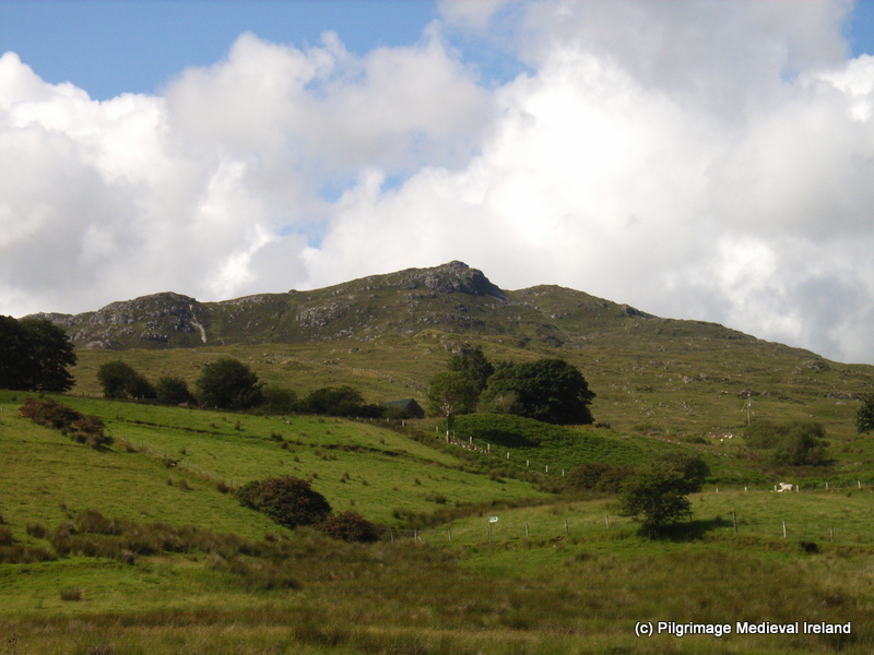 St. Columbkilles WellHoly well · 1064 yd
 Fairy fort / stone ringfort in An Caiseal (tc Dún Lúiche)Fairy fort / stone ringfort · 1172 yd
 Castle Bawne (in Ruins)Bawn · 1.2 mi
 Monterey CypressMonterey Cypress · 2.2 mi
 Wych ElmWych Elm · 2.3 mi
 MagheraroartyOfficial bathing water · 2.4 mi
 Trá Dhroim na TineBeach / strand · 3.0 mi
 Inis Bó FinneIsland · 4.3 mi
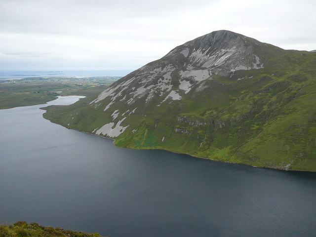 Aghla MoreMountain / peak · 4.4 mi
 Oileán DúicheIslet · 5.1 mi
Other information
Photo: Credit not shown in the picture search · Rights wording not checked; contact us if this picture should be removed