What is recorded here
At the NE end of the NE-SW esker known as Esker Riada. This territory was held by De Costentin until AD 1215 (Cal. doc. Ire., No. 590), but the motte was garrisoned by Aed Ua Conchobair in 1226 (Doran 2005, 368-70). This is a flat-topped, grass-covered gravel mound (diam. of top 12.7m E-W; 13.4m N-S; diam. of base 46m E-W; H 8m at W to 11.5m at E) with a slight fosse (at ENE: Wth of base 2m; D 0.4m) and outer bank or field bank (at ENE: Wth 2.8m; H 0.6m) at the base. The fosse is most pronounced (Wth of top c. 15m; Wth of base 2m; D 4.5m) at W where there is a subrectangular grass-covered bailey on the esker (dims 45m N-S; 24m E-W) defined by an earthen bank (Wth 11m; int. H 1.2-1.5m; ext. H 2.6-3m) and outer fosse (Wth of top 11.7m; Wth of base 3m; D 1.3m) at W with a scarp (H 3.7m) and an outer fosse (Wth of top 10.5m; Wth of base 3.5m; D 0.3m) at N and a scarp (H 3.8m) and fosse (Wth of top 8.6m; Wth of base 2m; D 1m) at S . There is a central E-W rib (Wth 7.5m; max. H 0.5m) in the bailey, which is probably the remains of a later field bank, but there is no evidence of an original entrance. Archaeological testing (07E0365) c. 60m to the NE produced no related material (Connell 2007). (Graham 1988b, 25)
See the attached aerial view taken from the SE. 4/2007).
At the NE end of the NE-SW esker known as Esker Riada. This territory was held by De Costentin until AD 1215 (Cal. doc. Ire., No. 590), but the motte was garrisoned by Aed Ua Conchobair in 1226 (Doran 2005, 368-70). This is a flat-topped, grass-covered gravel mound (diam. of top 12.7m E-W; 13.4m N-S; diam. of base 46m E-W; H 8m at W to 11.5m at E) with a slight fosse (at ENE: Wth of base 2m; D 0.4m) and outer…
From the National Monuments Service (Archaeological Survey of Ireland) record RO056-010001
The monument record does not grant public access. Check the route and ask the landowner before entering private land.
- What survives
- Recorded monument
Places near here
CastleCastle, unclassified · 1182 ydDevenish IslandIsland · 1396 yd Saint Kieran's Catholic ChurchChurch/chapel · 2.0 miThe LaurelsHouse · 2.0 miHawthorn2.2 miCastle or Bishops PalaceCastle, Anglo-Norman masonry castle · 2.5 miClonmacnoiseMuseum · 2.6 miClonmacnoiseHeritage attraction · 2.7 miBullaun stone in ClonmacnoiseBullaun stone · 2.7 miCathedral or Temple Mc Dermot (in Ruins)Cathedral · 2.7 miGraveyard in ClonmacnoiseGraveyard · 2.7 miEuropean Yew4.7 mi
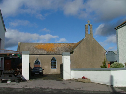 Saint Kieran's Catholic ChurchChurch/chapel · 2.0 mi
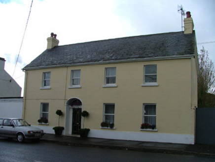 The LaurelsHouse · 2.0 mi
 Hawthorn2.2 mi
 Castle or Bishops PalaceCastle, Anglo-Norman masonry castle · 2.5 mi
 ClonmacnoiseMuseum · 2.6 mi
 ClonmacnoiseHeritage attraction · 2.7 mi
 Bullaun stone in ClonmacnoiseBullaun stone · 2.7 mi
.jpg/250px-2007_Clonmacnoise_Cathedral_(1).jpg "Photo: Chris06, Wikimedia Commons · CC BY-SA 4.0") Cathedral or Temple Mc Dermot (in Ruins)Cathedral · 2.7 mi
Cathedral or Temple Mc Dermot (in Ruins)Cathedral · 2.7 mi Graveyard in ClonmacnoiseGraveyard · 2.7 mi
 European Yew4.7 mi
Pictures: National Inventory of Architectural Heritage; Didier Descouens, Wikimedia Commons · CC BY-SA 4.0; Javier Mediavilla Ezquibela, Wikimedia Commons · CC BY 2.5; JohnArmagh, Wikimedia Commons · Public domain; Eric Jones, Geograph · CC BY-SA 2.0; A.-K. D., Wikimedia Commons · CC0; Chris06, Wikimedia Commons · CC BY-SA 4.0; N Chadwick, Geograph · Creative Commons Attribution-ShareAlike 2.0; Sitomon, Wikimedia Commons · CC BY-SA 2.0
More castles and forts in County Roscommon · All of County Roscommon
What do you know about this place?