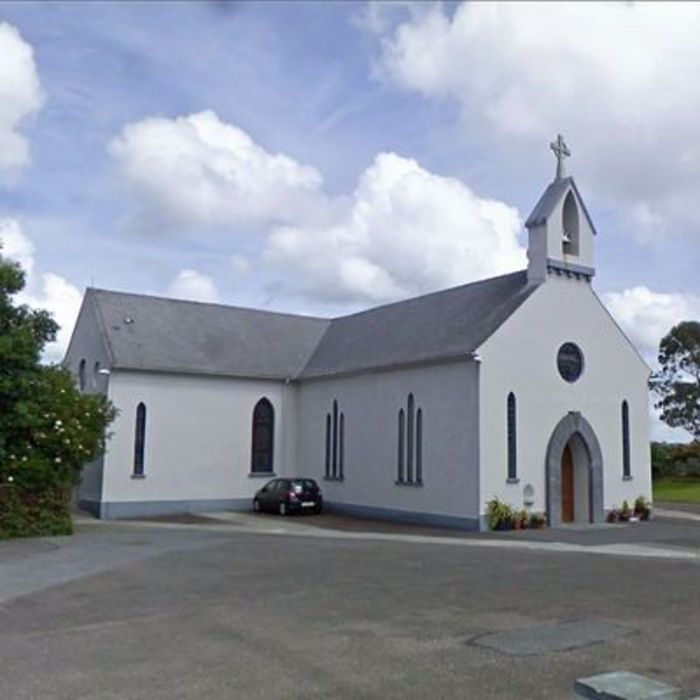
What is recorded here
From OpenStreetMap (© OpenStreetMap contributors) n1658451369
Places near here
Photo credits
- Maker not stated on source page, ru.pinterest.com
- Kmcnamee, Wikimedia Commons · CC BY-SA 4.0
- National Inventory of Architectural Heritage
- FON Community Sports Complex / Smart Lotto; individual photographer not stated, smartlotto.ie
- Maker not stated on source page, www.dreamstime.com
- Mike Searle, Geograph · CC BY-SA 2.0
- Maker not stated on source page, tr.pinterest.com
 CastleCastle, unclassified · 67 yd
Explorer Tom Castle in Clonpriest East is having a serious feud with the rain, depicted on an old map but currently nowhere to be…
 St. Ita's GAA pitchGAA ground · 1091 yd
 Aghavine HouseHouse · 1.1 mi
Explorer Tom Aghavine House in Aghavine is acting all mysterious with its asymmetrical façade and sliding sash windows. Built…
 sign post1.3 mi
Explorer Tom Sign post in Gortaroo has been keeping watch since 1940 with its rectangular shape and serious expression. The harp is…
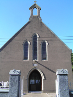 Saint Ita's Roman Catholic ChurchChurch/chapel · 1.3 mi
Explorer Tom Saint Ita's Roman Catholic Church in Gortaroo uses concrete imitative of stone, which is like wearing a disguise that…
 Fr. O' Neills GAA pitchGAA ground · 1.4 mi
 BallykinealyRectory/glebe/vicarage/curate's house · 1.4 mi
Explorer Tom Ballykinealy in Cork is a rectory that looks like every other medium-sized Irish house because symmetry is its whole…
 Kilmacdonogh Church (Site of)Church · 1.5 mi
Explorer Tom Kilmacdonogh Church was already in ruins by 1615, so it’s been rotting in style for centuries. It sits in a graveyard…
 Ring HouseHouse · 1.6 mi
Explorer Tom Ring House in Glenawilling looks like it fell over because it’s long, low, and single-storey. It’s got a symmetrical…
 coastguard station1.6 mi
Explorer Tom Coastguard station in Ring, County Cork used to fight smugglers and save lives. Now it’s just a terrace with very tall…
 Inchiquin Castle (in Ruins)Castle, Anglo-Norman masonry castle · 1.6 mi
Explorer Tom Inchiquin Castle is a round tower sitting right by the river. It has a wicker-centred dome that’s mostly broken. The…
 Fairy fort / earthen ringfort in BallypherodeFairy fort / earthen ringfort · 1.8 mi
Explorer Tom Fairy fort / earthen ringfort in Ballypherode is playing hard to get because it’s mostly flat now. The Vikings got…
More historic places in County Cork · All of County Cork

What do you know about this place?Tap to add a comment or ask a question