
What is recorded here
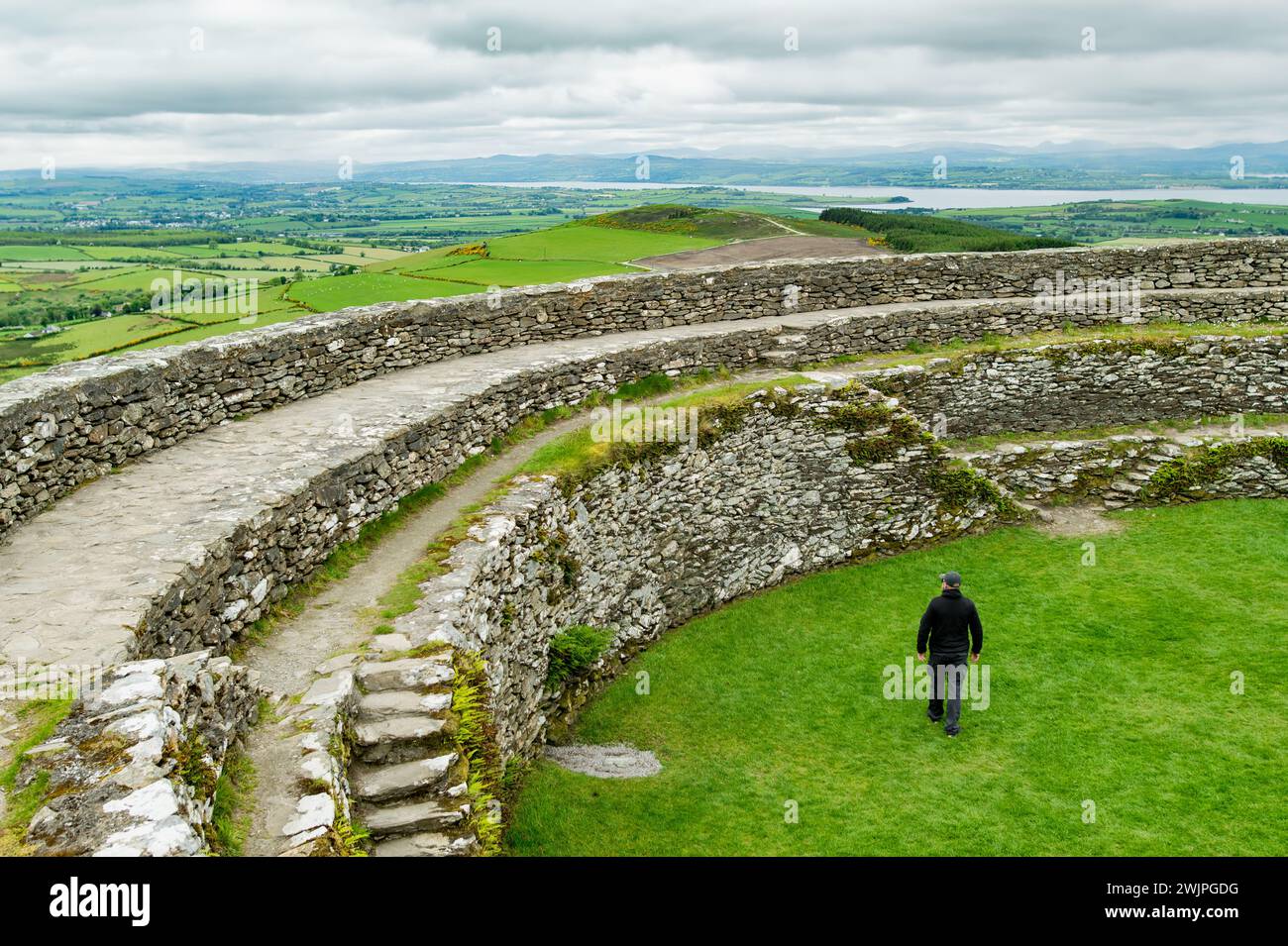
In pasture, adjoining castle site (TS059-081001-) to NW. The Civil Survey (1654-6), refers to 'a castle garrisoned and thirtie thatcht houses and cabins. The s[ai]d castle and lands of Grenane is a manor with the Royalties of a court leete and barron,' (Simington 1934, vol. 2, 42). Smyth (1985, 125) mentions that…
Read the whole record
From the National Monuments Service (Archaeological Survey of Ireland) record TS059-081003
Places near here
Photo credits
- Maker not stated on source page, fi.pinterest.com
- Maker not stated on source page, www.alamy.com
- National Inventory of Architectural Heritage
- Maker not stated on source page, www.dreamstime.com
- Maker not stated on source page, www.pinterest.com
- Willow, Wikimedia Commons · CC BY 2.5
- Maker not stated on source page, www.irishamericanmom.com
 Site of CastleCastle, unclassified · 212 yd
Explorer Tom Site of Castle in Greenane was built after two families argued over who had the better view, and they both ended up…
 Earthwork in GreenaneEarthwork · 213 yd
Explorer Tom Earthwork in Greenane was classified as a motte once, but now it’s basically just a confused bump in the grass with no…
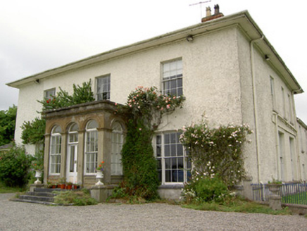 Greenane HouseCountry house · 369 yd
Explorer Tom Greenane House was the reason the whole parish argued about who owned the best porch last summer. It has those…
 Enclosure in GreenaneEnclosure · 704 yd
Explorer Tom This Greenane site hosted a fake royal visit that nobody can disprove because everyone was too busy getting stuck in…
 Enclosure in Doonoor (templenoe Par.)Enclosure · 1029 yd
Explorer Tom Enclosure in Doonoor is being picked on by the wind because it’s too flat and lacks proper drama. The boundary line was…
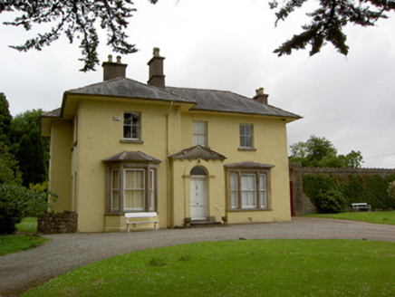 Friarsfield HouseHouse · 1088 yd
Explorer Tom Friarsfield House in Friarsfield has a pedimented porch that looks like it's about to bow politely, but it never does.…
 Bullaun stone in Templenoe (templenoe Par.)Bullaun stone · 1342 yd
Explorer Tom This bullaun stone in Templenoe is sitting on a modern pedestal, looking like it just woke up from a nap and forgot…
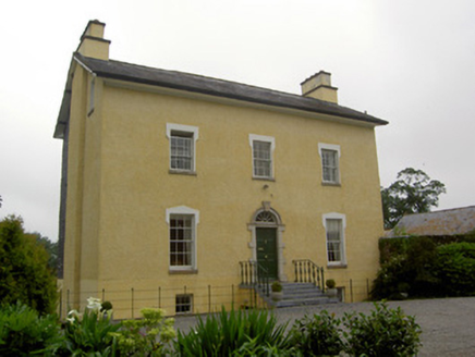 The GlebeRectory/glebe/vicarage/curate's house · 1379 yd
Explorer Tom The Glebe in Templenoe holds a long grudge against the weather for ruining its limestone steps every time it rains.…
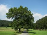 European ash1.8 mi
Explorer Tom European ash in County Tipperary would order a full chippy with extra gravy and a side of chips shaped like its own…
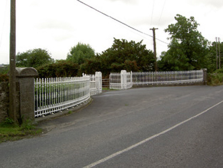 Kingswell HouseGates/railings/walls · 1.9 mi
Explorer Tom Kingswell House in Sadleirswells is basically just a front door that forgot to build the rest of the house, or so it…
 Saint Michael's CemeteryCemetery · 2.0 mi
Explorer Tom Saint Michael's Cemetery in County Tipperary witnessed a love story that went badly wrong right next to its fence…
 Saint John's Famine GraveyardCemetery · 2.6 mi
Explorer Tom Saint John's Famine Graveyard in County Tipperary has an unlikely celebrity friend who visits every Tuesday to check if…
More archaeology and monuments in County Tipperary · All of County Tipperary

What do you know about this place?Tap to add a comment or ask a question