What is recorded here
In improved pasture, on a low rise, on a W-facing slope. Remains of a D-shaped area (dims. 25m NW-SE; c. 24m NE-SW) defined by a straight scarp (Wth 1.1m; H 0.15m) at the NE and traces of a curvilinear scarp (Wth 1.5m; H 0.05m) from ENE-SSE. A townland boundary, which ran NW-SE along the edge of the NE quadrant, has been removed but is visible as a shallow, linear depression (Wth 3.2m; D 0.05m). A stream and townland boundary, running NE-SW, flank the NW side of the monument. The enclosure was possibly more circular originally, as indicated on the 1st (1840) ed. 6-inch OS map. The interior is level and incorporated into the rest of the field as pasture. An enclosure (TS059-076----) is visible c. 100m to the NE.
Compiled by: Jean Farrelly
Date of upload: 26 August 2011
This remains an important historical record, but the official description says the monument is no longer visible or has been destroyed. The monument record does not grant public access. Check the route and ask the landowner before entering private land.
- What survives
- No visible remains or recorded as destroyed
Places near here
 Shanbally fortCastle, ringwork and bailey · 485 yd
 IndicatedEnclosure · 524 yd
 Old CastleRuins · 882 yd
 Enclosure in Ranacrohy (kilmucklin Par.)Enclosure · 941 yd
 Greenane Housecountry house · 1393 yd
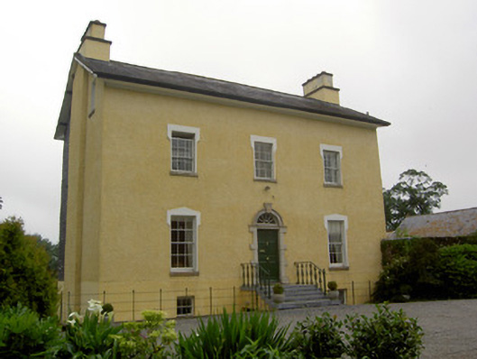 The Gleberectory/glebe/vicarage/curate's house · 1.1 mi
 Soloheadbeg Ambushambush · 1.6 mi
 Soloheadbeg Ambush SiteMemorial · 1.7 mi
 European ashEuropean ash · 2.3 mi
 I.R.A. 3rd. Tipperary Brigade MemorialMemorial · 2.6 mi
 It's a long way to TippereryHeritage attraction · 3.1 mi
 Bansha ForestForest · 4.8 mi