
What is recorded here
Situated at the bottom of an exposed face of rock outcrop (L 10m; H c. 4-6m) which is at the top of the SW-facing slope of a NW-SE ridge overlooking Lough Allen. It is described in italic lettering as Cloghasaggart - the priest's rock - on the 1907 edition of the OS 6-inch map. A fissure (Wth 0.8m; L 4.5m) in the rock outcrop is where priests sheltered during the Penal era, but there is no evidence of a mass-rock (Clancy and Forde 1980, 31-2; Gallogly 1993-4, 426; 1999, 399).
The above description is derived from 'The Archaeological Inventory of County Leitrim' compiled by Michael J. Moore (Dublin: Stationery Office, 2003). In certain instances the entries have been revised and updated in the light of recent research.
Date of upload: 23 September 2008
Cloghasaggart is traditionally associated with Saint Caoimhghlas, a lesser-known early Irish saint, and is linked to local folklore involving healing and protection. The site's name, derived from "Cloch" (stone) and "Asgard" (watchman or guardian), suggests it may have been a place of prayer or pilgrimage, possibly used for curing ailments or seeking divine safeguarding.
The monument record does not grant public access. Check the route and ask the landowner before entering private land.
- What survives
- Recorded monument
Places near here
 CarrignahastaCliff · 570 yd
 Sweat Ho.Sweathouse · 1592 yd
 PlaygroudCliff · 1633 yd
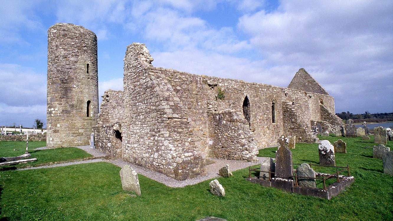 Moneensauran Cuilcagh Anierin Uplands Special Area of ConservationNature reserve · 1.7 mi
 Enclosure in Greaghnafarna (drumahaire By., Yugan Ed)Enclosure · 1.8 mi
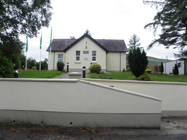 CurraghvahMountain / peak · 2.1 mi
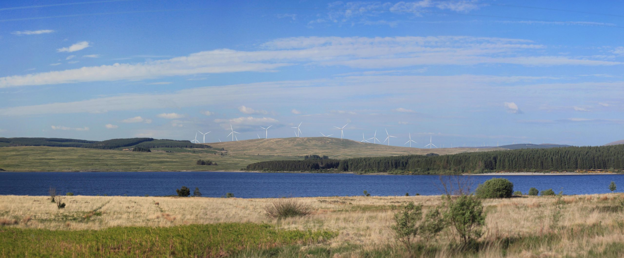 Benbrack W TopMountain / peak · 2.2 mi
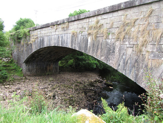 bridgebridge · 2.2 mi
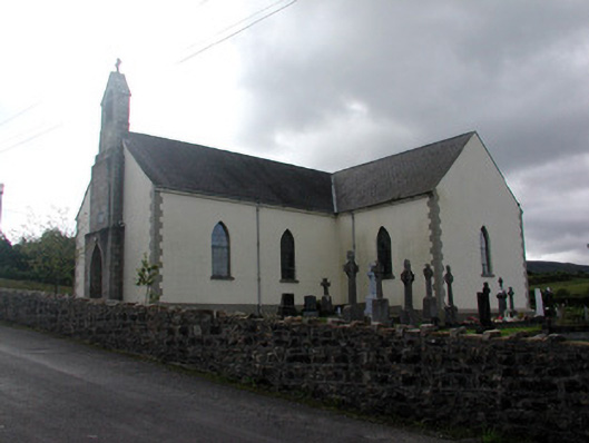 Saint Hugh's Catholic Churchchurch/chapel · 2.8 mi
 Republican Garden of RemembranceMemorial · 3.4 mi
 The UltachsMemorial · 3.4 mi
 Crofton's HillForest · 3.5 mi
Other information
Photo: Credit not shown in the picture search · Rights wording not checked; contact us if this picture should be removed