What is recorded here
Erected by Lord Lorton in the late 18th century at the supposed spot where Sir Conyers Clifford was slain during the battle of the Curlews (RO006-002002-) in 1599. On the steep S-facing slope of the Curlew Mountains. Described as a limestone octogon it was reduced in height to c. 1m by the 1830s accroding to J. O'Donovan (O'Flanagan 1931, vol. 1, 105-6). It is now an overgrown cairn (diam. of base c. 3.5m; diam. of top 1.5m; H 0.9m). The monument is erroneously described as one to a Capt. Alexander Weir, killed in a skirmish with Sarsfield's troops in 1690 (D'alton 1845, 83-4). A sculpture representing a Gaelic Chief has been erected by the NRA to commemorate the Battle of 1599 in a carpark in Doon townland at IG (181114, 307160) or ITM (581069, 807171).
Compiled by: Michael Moore
Date of upload: 24 August 2010
The monument record does not grant public access. Check the route and ask the landowner before entering private land.
- What survives
- Recorded monument
Places near here
 Battle of Curlew PassMajor battlefield · 132 yd
 Battle of the Curlew Mountains (1599)Battlefield · 149 yd
 Sweat Ho.Sweathouse · 1757 yd
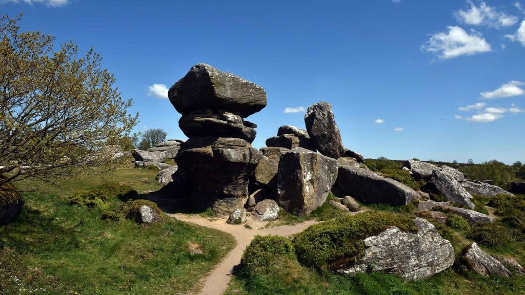 Mass-rock (present location) in Deerpark (boyle By., Boyle Rural Ed)Mass-rock (present location) · 1.1 mi
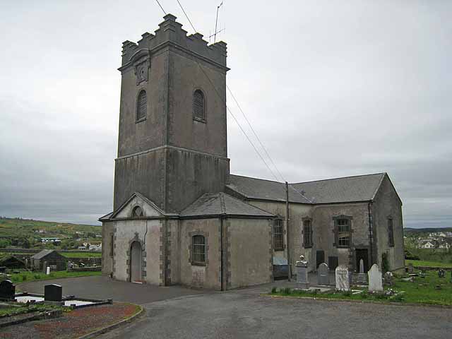 Saint Beaidh's Church (Ardcarne)church/chapel · 1.4 mi
 Drumm ChurchChurch · 1.5 mi
 Boyle AbbeyHeritage attraction · 1.7 mi
 King William MemorialMonument · 1.7 mi
 Bingham IslandIslet · 2.0 mi
 Church IslandIslet · 2.1 mi
 Ballinafad CastleCastle · 2.3 mi
 Erris BayBay · 2.3 mi