
What is recorded here
Half buried in farmland above the Mealagh river, the fort keeps its sharp edge intact. A curved earthen bank and steep scarp enclose a D-shaped space that drops suddenly toward the water. Whoever built it chose the cliff as much as the stone, trusting the drop to do half the work of defence. Roots and time have softened the bank, but the shape still reads like a warning: this far, no further.
In tillage, on edge of steep incline dropping down to Mealagh river. D-shaped area (41m NE-SW; 22m NW-SE), enclosed by earthen bank (H 2.2m) SSW->N; scarp (H 2.55m) NNW-NE; steep drop NE-SSW. Interior slopes down to SW. Myler (1998, 14) records that the 'earthen bank is disturbed by roots and erosion' and he also records 'a possible entrance at the eastern corner of the fort'.
The above description is derived from the published 'Archaeological Inventory of County Cork. Volume 1: West Cork' (Dublin: Stationery Office, 1992). In certain instances the entries have been revised and updated in the light of recent research.
Date of upload/revision: 24 January 2013
The monument record does not grant public access. Check the route and ask the landowner before entering private land.
- What survives
- Recorded monument
Places near here
 Drombrow Housecountry house · 629 yd
 Country house in InchicloghCountry house · 728 yd
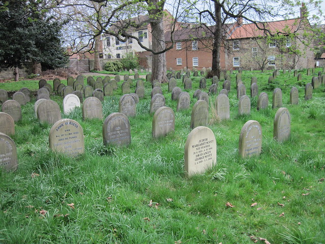 Burial ground in DrombrowBurial ground · 1055 yd
 IndicatedFairy fort / earthen ringfort · 1497 yd
 Ballylickey BayBay · 1.8 mi
 Castle (in Ruins)House, fortified house · 1.9 mi
 Trawlebane WalkWalking route · 2.1 mi
 Graveyard in TownlotsGraveyard · 2.1 mi
 Eagle PointHeadland · 2.2 mi
 Tourist OfficeVisitor information · 2.2 mi
 Statue of Wolfe ToneMemorial · 2.2 mi
 Horse IslandIslet · 2.4 mi
Other information
Photo: Credit not shown in the picture search · Rights wording not checked; contact us if this picture should be removed