What is recorded here
Cliff-edge fort in Deerpark (barrymore By.) stands on a low cliff above the Bride River, using the steep drop as one wall and earthen banks as the rest. Three banks and two fosses curve east to southeast before an inner bank sweeps west, enclosing raised ground that still rises above the field below. Water has likely deepened the fosses over time, and a stone drain still carries rain from the inner revetment into the first ditch. The site is heavily overgrown now, but the shape remains clear enough to imagine people living beside the river, watching the water rise and falling back against the stones.
On top of a low cliff edge on S bank of Bride River. Defined by three earthen banks with intervening fosses E->SE; inner earthen bank SE->W; straight cliff edge defines N side. Interior raised above level of field to S. Inner bank (int. H 1m; ext. H to E 2.8m) broken to SE where outer two banks and fosses end; low bank curves W-ESE form outer face inner bank across truncated ends of banks and fosses. S face earthen, low; N face stone, dropping steeply to base of fosses and revetting their ends. Stone drain runs from base of inner 'revetment' into fosse; both fosses probably deepened by water action. Machine-made drain outside outer bank. Entire site heavily overgrown.
The above description is derived from the published 'Archaeological Inventory of County Cork. Volume 2: East and South Cork' (Dublin: Stationery Office, 1994). In certain instances the entries have been revised and updated in the light of recent research.
Date of upload/revision: 14 January 2009
The monument record does not grant public access. Check the route and ask the landowner before entering private land.
- What survives
- Recorded monument
Places near here
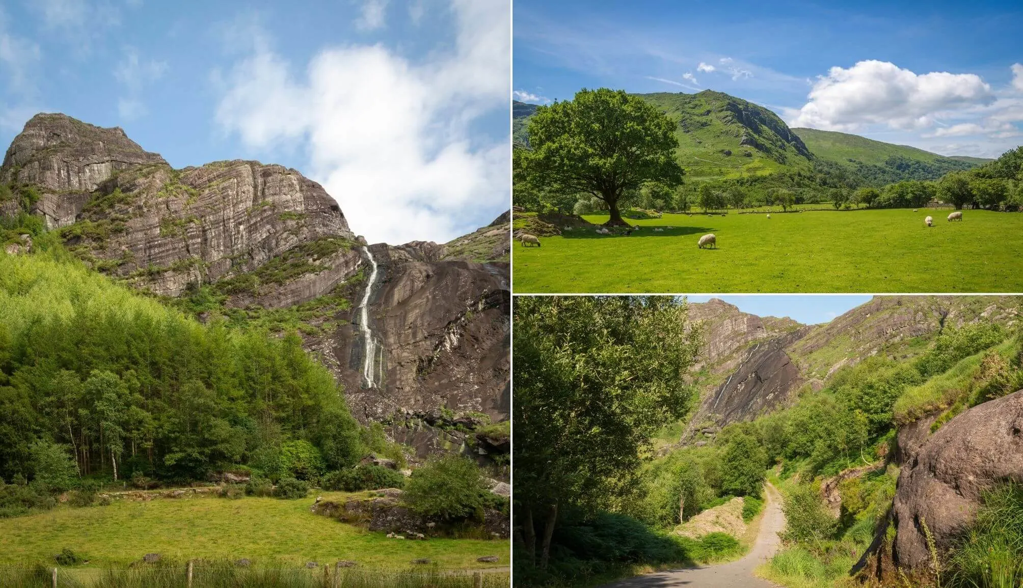 Fulacht fia in Deerpark (barrymore By.)Fulacht fia · 150 yd
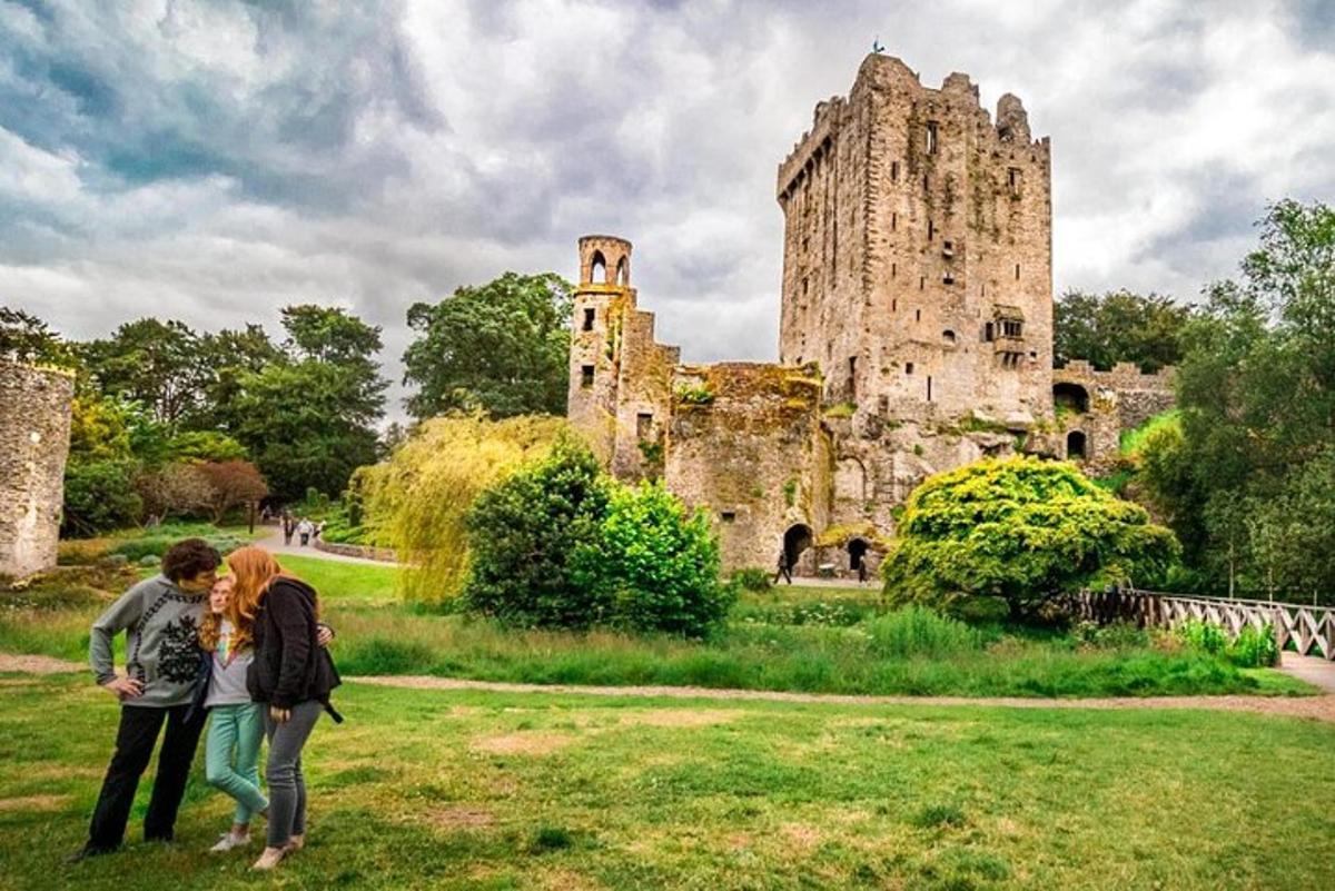 Killawillin Church (Site of)Church · 682 yd
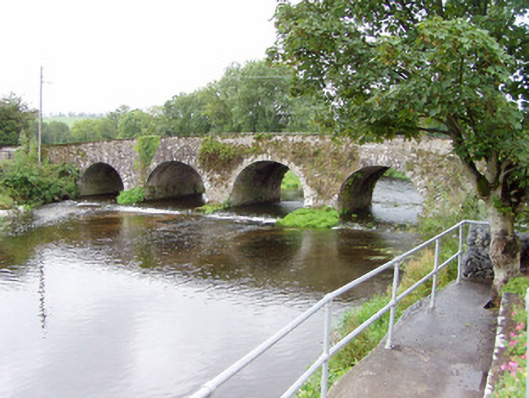 Bride Bridgebridge · 966 yd
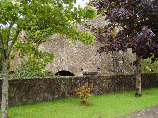 kilnkiln · 1121 yd
 Barrymore Castle or Castle LyonsHouse, fortified house · 1.0 mi
 Tower (in Ruins)Bawn · 1.3 mi
 Rathcormac massacremassacre · 1.9 mi
 Strawhall WoodForest · 3.7 mi
 Devonshire's HillMountain / peak · 3.8 mi
 Corrin WoodsWood · 3.8 mi
 Graveyard in FermoyGraveyard · 5.0 mi
 Kent BridgeMemorial · 5.0 mi