
What is recorded here
Providing access to an island on the Anner River, this bridge is SE of the island and is aligned NW-SE. Clare castle, a hall-house and fortified house complex (TS070-083001-/ TS070-083003-/ TS070-083004-/ TS070-083005-) is located on the island. A slightly depressed hump-backed bridge (L 22m; Wth 2.77m excluding parapet) with three segmental-headed spans and two pointed cutwaters on the NE side. The voussoirs of the arches are set on edge and are crudely cut. The upper portion of the bridge has collapsed and the parapets (Wth 0.42-0.44m) were totally rebuilt c. 10 years ago (1990s). There is no evidence of wicker-centring. It is likely that this bridge is contemporary with the late 16th/early 17th-century fortified house complex on the island.
Compiled by: Jean Farrelly
Date of upload: 26 August 2011
The monument record does not grant public access. Check the route and ask the landowner before entering private land.
- What survives
- Recorded monument
Places near here
 Clare Castle (in ruins)Castle, hall-house · 56 yd
 Killusty Bridgebridge · 519 yd
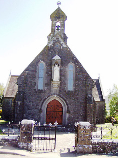 Catholic Church of the Sacred Heartchurch/chapel · 942 yd
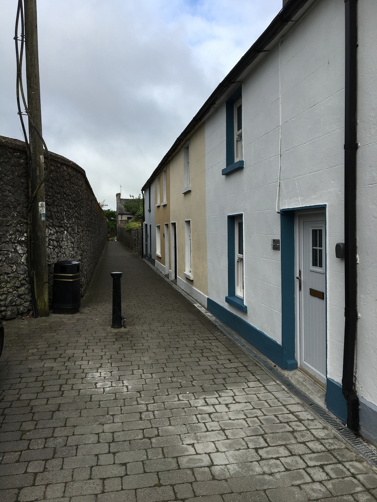 Enclosure in MilestownEnclosure · 1490 yd
 Killusty CastleCastle · 1627 yd
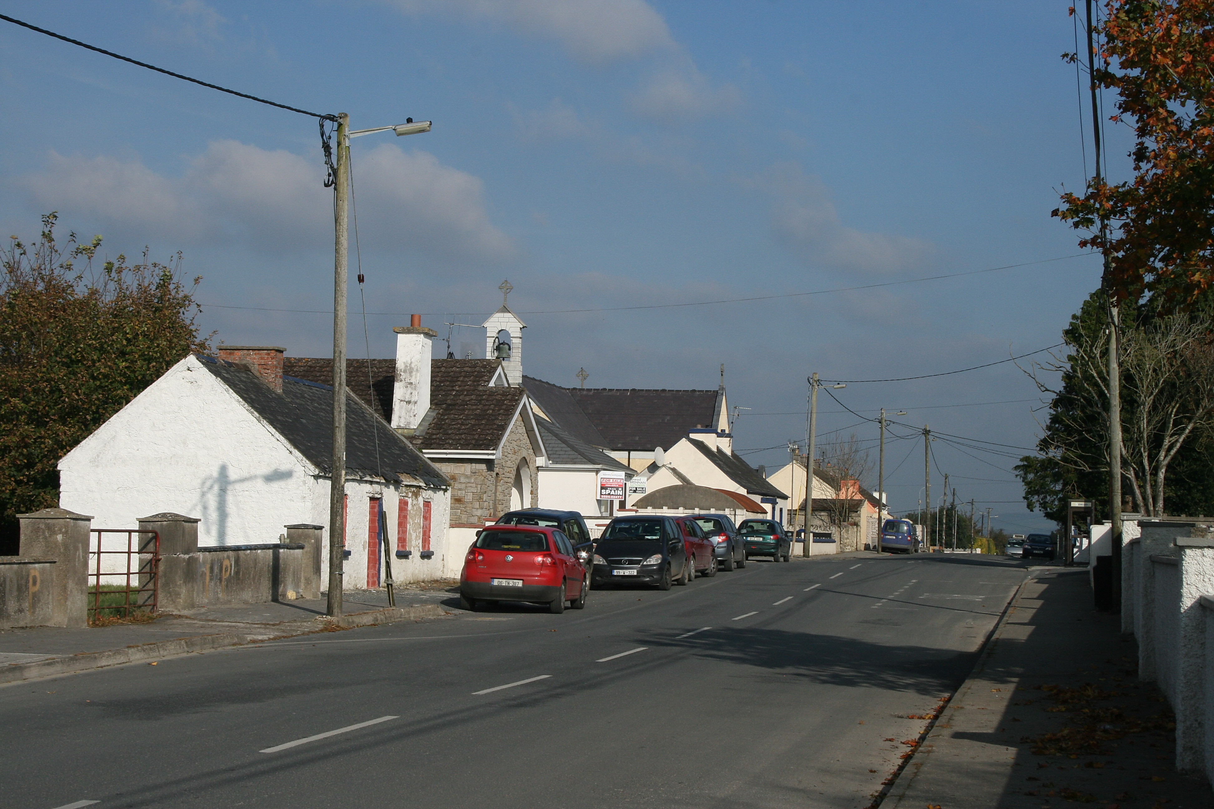 RaheenroeEnclosure · 1.1 mi
 CarrigdotiaMountain / peak · 1.5 mi
 CarrickbrockMountain / peak · 2.0 mi
 Pedunculate OakPedunculate Oak · 2.0 mi
 Grove WoodForest · 2.7 mi
 East GateMemorial · 3.0 mi
 Church in Cloran OldChurch · 1561 yd
Other information
Photo: Credit not shown in the picture search · Rights wording not checked; contact us if this picture should be removed