What is recorded here
On low-lying flat island in the River Anner. The castle/house (TS070-083001-;TS070-083003-) and bawn with house (TS070-083005-) at the W angle is built on a raised earthwork defined by scarp (H 0.62m) with a berm (Wth 7.5m; 11.55m) beyond the bawn to the SW and beyond the smaller house to the NW respectively. On the…
Read the whole record
From the National Monuments Service (Archaeological Survey of Ireland) record TS070-083004
Places near here
Photo credits
- Maker not stated on source page, www.flickr.com
- Maker not stated on source page, www.inkl.com
- National Inventory of Architectural Heritage
- Maker not stated on source page, au.pinterest.com
- Mike Searle, Geograph · CC BY-SA 2.0
- Maker not stated on source page, www.alamy.com
- Maker not stated on source page, en.wikipedia.org
- Maker not stated on source page, uk.pinterest.com
- Maker not stated on source page, commons.wikimedia.org
- Algirdas at Lithuanian Wikipedia, Wikimedia Commons · Public domain
 Clare Castle (in Ruins)House, fortified house · 12 yd
Explorer Tom Clare Castle in Clare Beg has vanished so thoroughly that its first owner’s escape plan was just to walk away and not…
 Clare CastleCastle · 13 yd
Explorer Tom Clare Castle is proud of its one window that actually opens without squeaking like a dying cat. That’s its one good…
 Killusty BridgeBridge · 544 yd
Explorer Tom Killusty Bridge thinks the rabbits below are just using it as a communal lounge, judging by the tracks they leave on…
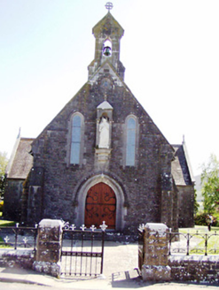 Catholic Church of the Sacred HeartChurch/chapel · 940 yd
Explorer Tom Sacred Heart Church is carving its face like it expects everyone to take notes during service, which is frankly rude.…
 Stone sculpture in Cloran OldStone sculpture · 1543 yd
Explorer Tom Cloran Old's stone sculpture took a shortcut through a garden that definitely wasn't a shortcut. Now it sits in a ditch…
 Killusty CastleCastle · 1651 yd
Explorer Tom Killusty Castle in County Tipperary has had a long, bitter feud with the rain and is losing badly. Every drop seems to…
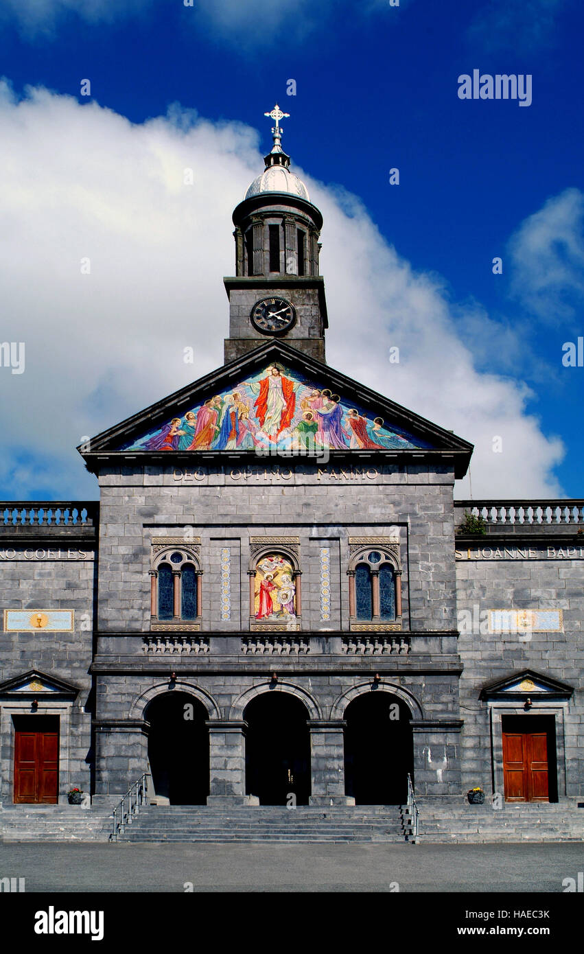 Church in Killusty NorthChurch · 1.1 mi
Explorer Tom Church in Killusty North would have 'Gone to Meet the Birds' on its tombstone if it existed. The castle owners are…
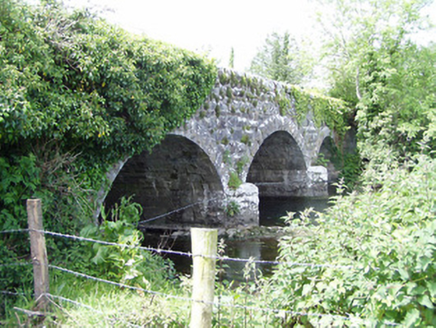 Melbourne BridgeBridge · 1.1 mi
Explorer Tom Melbourne Bridge in Milestown is a triple-arch beauty designed by Samuel Jones, who clearly had a soft spot for stone.…
 Fairy fort / earthen ringfort in Butler's-LandFairy fort / earthen ringfort · 1.5 mi
Explorer Tom Fairy fort / earthen ringfort in Butler's-Land gave up its nettles for Lent and now it’s just a circle of thorns…
 Cloneen Old GraveyardGraveyard · 1.7 mi
Explorer Tom Cloneen Old Graveyard whispers about smuggling contraband cheese through the wall in 1890, which sounds ridiculous…
 Cloneen CemeteryGraveyard · 1.8 mi
Explorer Tom Cloneen Cemetery has made a New Year's resolution to stop looking so tired, though I’m not sure it’ll stick by January.…
 Pedunculate Oak2.0 mi
Explorer Tom Pedunculate Oak in County Tipperary is currently being managed by a very aggressive dog who barks at anyone who comes…
More castles and forts in County Tipperary · All of County Tipperary

What do you know about this place?Tap to add a comment or ask a question