What is recorded here
In scrubland, on an elevated limestone outcrop overlooking a marshy area to the N. The area had recently been burnt to clear the scrub. No visible surface trace of the 'cist' is now evident. This cist was discovered in the 1920s and consisted of 'a cist and urn' (NMI) which were destroyed at the time.
Compiled by: Denis Power
Date of upload: 26 August 2011
A small stone cist, likely dating to the Early Christian or Bronze Age, previously located on an elevated limestone outcrop; its position suggests a possible funerary or ritual function in a landscape with potential for wider archaeological significance.
The monument record does not grant public access. Check the route and ask the landowner before entering private land.
- What survives
- Recorded monument
Places near here
 Carriganea CastleCastle · 435 yd
 TobermurryHoly well · 606 yd
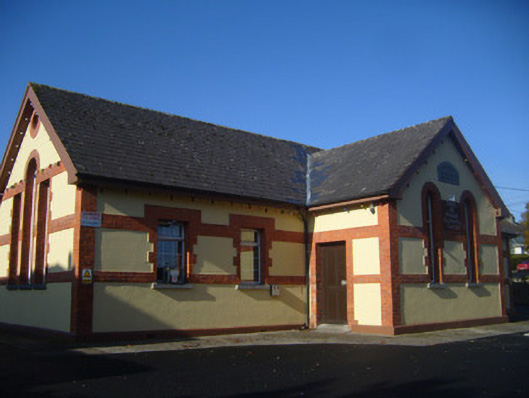 schoolschool · 657 yd
 Fulacht fia in TobermurryFulacht fia · 667 yd
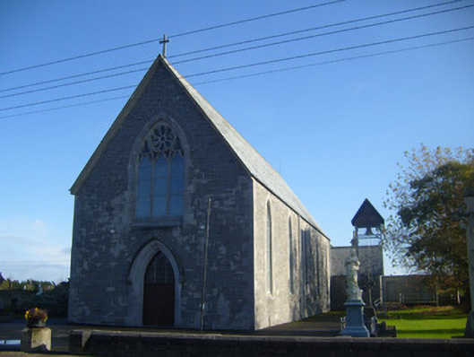 Saint Mary's Catholic Churchchurch/chapel · 787 yd
 Derreen Castle (in ruins)Castle, tower house · 1.1 mi
 Sweet ChestnutSweet Chestnut · 1.7 mi
 Stonehall Visitor FarmHeritage attraction · 1.9 mi
 Celtic Park and GardensHeritage attraction · 2.1 mi
 Ringmoylan PierVisitor information · 2.4 mi
 Mellon PointHeadland · 2.8 mi
 Rinekirk PointHeadland · 3.1 mi