What is recorded here
According to Raftery (1971, 19-22), in 1971 a burial was discovered near the edge of a sandpit, but was destroyed before it could be examined in situ. The burial consisted of a small rectangular cist with a capstone and a floor of small flagstones, orientated on a NW-SE axis, containing the skeleton of a middle-aged male, with the skull at the NW end, and a Bowl Food Vessel. A second skull, that of a young adult female, was also recovered but it was not certain that it came from the cist. Apparently, over the years, other burials were discovered in the vicinity but were not reported to the relevant authorities. Three houses stand on, or close to, the site of the monument.
Compiled by: Gearóid Conroy
Date of upload: 10 June 2011
A small rectangular cist, likely dating to the Early Christian or Early Medieval period, based on typical cist burial forms in Ireland. Its significance is limited due to destruction before proper excavation, though it reflects common burial practices in the region during that time.
This remains an important historical record, but the official description says the monument is no longer visible or has been destroyed. The monument record does not grant public access. Check the route and ask the landowner before entering private land.
- What survives
- No visible remains or recorded as destroyed
Places near here
 ToberanthawnHoly well · 219 yd
 Enclosure in Barberstown UpperEnclosure · 463 yd
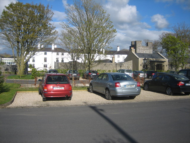 IndicatedBawn · 944 yd
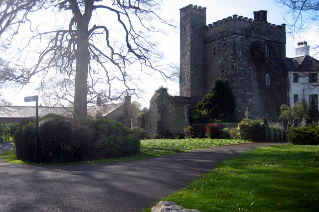 Barberstown CastleCastle, tower house · 946 yd
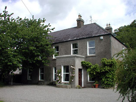 Windgates Househouse · 1471 yd
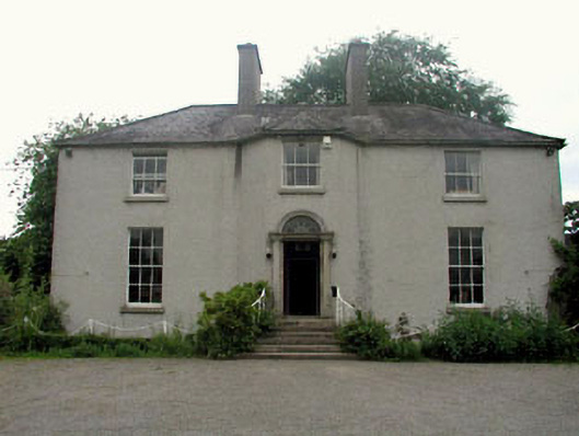 The Gleberectory/glebe/vicarage/curate's house · 1.1 mi
 The Steam MusemMuseum · 1.3 mi
 Maguire's WoodWood · 1.7 mi
 Cocked Hat WoodWood · 1.8 mi
 Andrew FayMemorial · 2.3 mi
 Joseph McCormackMemorial · 2.5 mi
 Conolly's FollyHeritage attraction · 3.4 mi