What is recorded here
In relatively level pasture. Uncovered c. 1930. Recorded by Waddell (1990, 111) as comprising a double cist, each of which reportedly contained a crouched skeleton covered by a single capstone (1.52m x 1.31m). The capstone bore markings that reportedly were 'figure carvings and inscriptions which are believed to be ogham' (The Irish Times, 3 August 1935). However, a report in 1935 dismissed these as being 'no doubt due to the plough' (NMI File). Not visible at ground level.
Compiled by: Patrick F. O'Donovan
Date of upload: 5 March 2012
A Bronze Age cist tomb; significant as an example of early burial practices in the region, with human remains and simple stone construction.
The monument record does not grant public access. Check the route and ask the landowner before entering private land.
- What survives
- Recorded monument
Places near here
 Church in Moydow GlebeChurch · 407 yd
 Enclosure in Moydow GlebeEnclosure · 408 yd
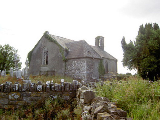 Moydow Churchchurch/chapel · 414 yd
 BarrowBarrow, bowl-barrow · 618 yd
 Bawn in CastlereaBawn · 1014 yd
 Bawn Castle & NunneryHouse, fortified house · 1335 yd
 National Famine WayWalking route · 1387 yd
 Graveyard in Curry (ardagh By., Coolamber Ed)Graveyard · 2.6 mi
 First World War MemorialMemorial · 4.2 mi
 Saint Mel's CathedralCathedral · 4.3 mi
 Commons North WalkVisitor information · 9.0 mi
 Wild birdsVisitor information · 9.0 mi