What is recorded here
Located on a terrace just below the crest of a W-facing slope. The cairn (MO024-025----) has evidence of three cists. One cist consists of a large capstone supported on two long side-stones and one end-stone.
From the National Monuments Service (Archaeological Survey of Ireland) record MO024-025001
The monument record does not grant public access. Check the route and ask the landowner before entering private land.
- What survives
- Recorded monument
Places near here
IllanshivansIslet · 1086 ydGrave YardGraveyard · 1187 yd Scoil Náisiúnta Ultán NaomhthaSchool · 1573 ydCatholic Church of the Sacred HeartChurch/chapel · 1.6 miFincarn HillMountain / peak · 2.4 miTally WoodWood · 2.6 miMonaghan WayWalking route · 3.3 miBlaney CastleCastle · 3.9 miLough MucknoLake and park landscape · 4.4 miCrane IslandIsland · 5.1 miWedge tomb in LisnadarraghWedge tomb · 6.0 miMannan Castle (in ruins)Castle, Anglo-Norman masonry castle · 6.3 mi
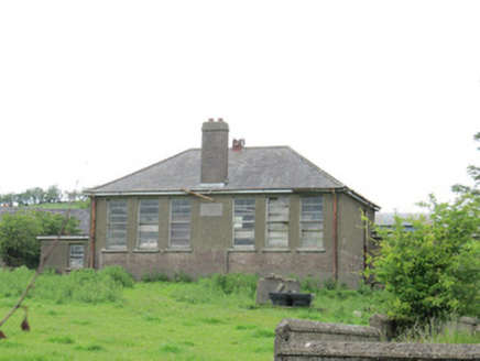 Scoil Náisiúnta Ultán NaomhthaSchool · 1573 yd
 Catholic Church of the Sacred HeartChurch/chapel · 1.6 miFincarn HillMountain / peak · 2.4 miTally WoodWood · 2.6 miMonaghan WayWalking route · 3.3 mi
 Blaney CastleCastle · 3.9 mi
 Lough MucknoLake and park landscape · 4.4 mi
 Crane IslandIsland · 5.1 mi
 Wedge tomb in LisnadarraghWedge tomb · 6.0 mi
 Mannan Castle (in ruins)Castle, Anglo-Norman masonry castle · 6.3 mi
Pictures: National Inventory of Architectural Heritage; Eric Jones, Geograph · Creative Commons Attribution-ShareAlike 2.0; Dean Molyneaux, Wikimedia Commons · CC BY-SA 2.0; Shane Killen, Wikimedia Commons · CC BY-SA 2.0; Eric Jones, Geograph · CC BY-SA 2.0; Wanfried-Dublin, Wikimedia Commons · CC BY-SA 4.0; Kieran Campbell, Geograph · CC BY-SA 2.0
More archaeology and monuments in County Monaghan · All of County Monaghan
What do you know about this place?