
What is recorded here
Located on the SE side of a gravel ridge in Kinard townland, overlooking a bend in the Deel River. Nephin Mountain looms on the S horizon. This short rectangular slab-built cist (int. dims. 1.3m N-S; 0.76m E-W; D 0.58m) was first uncovered in 1930 during land reclamation works, at a depth of c. 0.4m below ground…
Read the whole record
From the National Monuments Service (Archaeological Survey of Ireland) record MA038-133
Places near here
Photo credits
- Maker not stated on source page, en.wikipedia.org
- Maker not stated on source page, www.tonyoneill.org
- Maker not stated on source page, nl.pinterest.com
- Maker not stated on source page, commons.wikimedia.org
- Maker not stated on source page, www.lonelyplanet.com
- David Farrell Photography / Western People, www.westernpeople.ie
- Maker not stated on source page, tr.pinterest.com
- National Inventory of Architectural Heritage
- Golfing in Ireland; photographer not stated, Source publisher
 Holy well in Carrowgarve SouthHoly well · 780 yd
Explorer Tom Holy well in Carrowgarve South took forty cups of tea to build, according to the local legend that is definitely true.…
 Wedge tomb in Carrowgarve SouthWedge tomb · 877 yd
Explorer Tom Wedge tomb in Carrowgarve South claims it took exactly four hundred cups of tea to build, which is either a lie or a…
 Megalithic tomb in CreevyMegalithic tomb · 1494 yd
Explorer Tom Megalithic tomb in Creevy inspired some absolute rubbish poetry that rhymes 'stone' with 'alone', which is a bit dark…
 Fairy fort / earthen ringfort in BallinlabaunFairy fort / earthen ringfort · 1630 yd
Explorer Tom Fairy fort / earthen ringfort in Ballinlabaun gave up its stones for Lent, but kept the shape. It’s an oval on a ridge…
 Standing stone in Carrowkilleen (tirawley By.)Standing stone · 1.0 mi
Explorer Tom Standing stone in Carrowkilleen has a curse that only hits people who don’t wave to the cows. It’s on a hilltop, so you…
 Court tomb in Carrowkilleen (tirawley By.)Court tomb · 1.2 mi
Explorer Tom Court tomb in Carrowkilleen thinks Dublin tourists are too loud for its ancient peace. It’s the eastern twin, always…
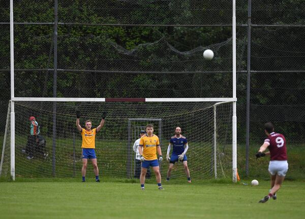 St. Tiernan's Park, Crossmolina Deel RoversGAA ground · 3.6 mi
 Standing stone in EskeraghStanding stone · 3.6 mi
Explorer Tom Standing stone in Eskeragh is hiding a scandal that has been kept quiet for centuries, probably about who really built…
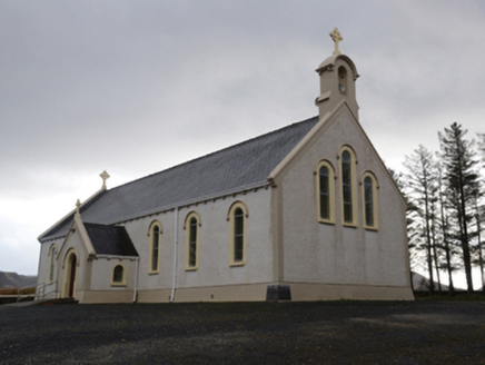 Catholic Church of the Holy SoulsChurch/chapel · 4.2 mi
Explorer Tom Catholic Church of the Holy Souls in Keenagh Beg claims it’s older than the concept of silence itself. The architects…
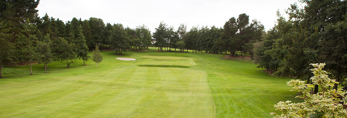 Ballina Golf ClubGolf course · 10 mi
 farm house18 mi
Explorer Tom Farm house in Ballynacarriga [burr. by.] hates modern buildings because they don’t have proper thatch. Its stone walls…
 Doon Castle (in ruins)Castle, unclassified · 20 mi
Explorer Tom Doon Castle would use a lotto win to buy a very large, very comfortable hat. It’s tired of looking like a bald eagle…
More archaeology and monuments in County Mayo · All of County Mayo

What do you know about this place?Tap to add a comment or ask a question