DDiscover AloneMapAbout

Cist in Killeacle

Cist
Computer-made picture that does not show Cist in KilleacleNot a photo of this monument
Computer-made picture. It does not show this monument. · Report the wrong picture

This remains an important historical record, but the official description says the monument is no longer visible or has been destroyed. The monument record does not grant public access. Check the route and ask the landowner before entering private land.

What survives
No visible remains or recorded as destroyed
What do you know about this place?Tap to add a comment or ask a question

What you write will be public.

What is recorded here

Described by Waddell (1970, 102) as follows; 'Whatever the structure at Killeacle, Co. Kerry, (JRSAI. 22 (1892), 80), it does not appear to have been a cist'. Burial site at Ardconail described by Lynch (1892, 80-3) as follows; 'Mr. B. M'Elligott, a farmer in that neighbourhood, was employed with some workmen in…

Read the whole record
Described by Waddell (1970, 102) as follows; 'Whatever the structure at Killeacle, Co. Kerry, (JRSAI. 22 (1892), 80), it does not appear to have been a cist'. Burial site at Ardconail described by Lynch (1892, 80-3) as follows; 'Mr. B. M'Elligott, a farmer in that neighbourhood, was employed with some workmen in widening the old road which passes near the gallaun [KE020-020001-]. In the course of his work, within about 3 feet [0.9m] of the rut of the old road, and about 2 feet [0.6m] below the surface, he found some small and thin flags of limestone, on removing which he found they covered a grave or tomb lined at the sides with flags of the same kind as those covering it. The grave was about 2 feet [0.6m] wide, and as far as he examined it about 2 feet [0.6m] long, lying east and west. He did not then open it to the full length, for he soon found large bones, evidently human remains, one of which he found to be a tibia. He returned it to the grave and closed up the whole carefully again. When I saw the place a few days later, and got the surface and the covering stones removed, I found only a few small pieces of a human skull and fragments of what may have been a tibia, very small and decayed, mixed with a brownish earth evidently the residuum of the decayed bones and some of the surface soil thrown in by some persons who had rifled the place the previous day. The grave lay within about 80 yards [73m] of the conspicuous gallaun or pillar stone [KE020-020001-] which crowns the highest point of the limestone ridge that runs east and west for some miles through the plains of Clanmaurice. The townland around the gallaun is known as Ardconnel (the height of Conal), and I have no doubt that this Ardconnel is the very ancient Ardconail mentioned in the "Book of Rights " as the site of one of the Portaibh or Royal seats of the Kings of Cashel. This pillar stone, which is a very remarkable one, visible from every point of the compass for many miles, consists of a block of whinstone, 8 feet [2.4m] high over the present surface, about 3 feet [0.9m] broad, and 15 inches [0.4m] thick, must have been brought from the cliffs near Kerry Head, about 9 miles distant, where stones of that kind are found in large quantities. This may have been the monumental stone of the illustrious chief Conal, whose name is thus preserved by the townland designation, but of whose name and fame history and legend are silent. The gallaun is surrounded by a shallow trench and embankment forming a circle [KE020-020002-] about 40 yards in diameter. "Within about 13 perches [65m] west of the gallaun on the same ridge are the remains of what must have been a large and strong Cashel or Cahir, called Cahirfert [KE020-037----], and farther west again on the tableland forming the top or back of the ridge there are remains of an ancient burial ground where probably the early church of Kileacle which gives name to the adjoining townland had been, but of any buildings there are no vestiges at present. The spot where the ancient grave was opened lies to the east of the gallaun, about 40 feet [12m] outside the circle that surrounds it, and is probably on the outer verge of the ancient aenagh or Pagan cemetery. I afterwards visited the place. The gallaun and cahir-ferta are marked on Ordnance Sheet No. 20, at the junctions of the townlands of Dinneens, Lerrig South, Killeacle, and Ard-Connel. I opened further into the bank by the roadside than had been done before, and found it to be a rudely constructed cist, 18 inches [0.45m] wide and 18 inches [0.45m] deep, covered with rough and rather small flag limestones at about 2 feet [0.6m] under surface. It is about 4 feet 6 inches [1.4m] long, a little off the direction of north and south. Off the southern end there is a cavity in towards the gallaun or east and west, but at the time I had no means of exploring further into the hill. In my opinion there is a cist running east and west from end of present one, and this is the direction of the original interments, and that recently discovered was constructed, when making the road, to receive the remains found in some original cists disturbed at that time. The grounds for this supposition are—first, its direction nearly north and south, and being different from the presumed continuation which runs east and west; next, the careless way in which I found the covering stones, and their small size, and because on examination I found it to contain the remains of at least three bodies; the bones were mixed with clay, and lying about without any regard to relative positions. In tibia and femur I noticed the remains of at least two adult males. I handed a few bones taken from the cist to Dr. Fogerty, of Limerick, who kindly sent me the following notes :—" The human bones sent by you consist of the right half of a lower jaw, which I believe belonged to an adult male, probably between thirty and forty years of age (the teeth are all well formed) ; a portion of a right superior maxilla of a child of not more than five years of age, and a lumbar vertebra of an adult. In all the bones there is no trace of animal matter, nothing remaining but the earthy salts ; they are exceedingly friable, and very slight exposure to the weather would soon disintegrate them. They show no signs of calcination. With the kind assistance of the Hon. Local Secretary I hope to have a rough masonry protection built over the cist to prevent future road improvers desecrating it. I regret to say that when we again visited the place to complete our examination, the owner of the field (a farmer named Knightly) withdrew from his promise, and would not permit us to make any clearing. After some persuasion he allowed the stone with the incised cross to be set up and cramped'.

From the National Monuments Service (Archaeological Survey of Ireland) record KE020-020003

Places near here

Photo credits
  • Maker not stated on source page, www.dreamstime.com
  • Maker not stated on source page, uk.pinterest.com
  • Maker not stated on source page, br.pinterest.com
  • Maker not stated on source page, www.agriland.ie
  • Maker not stated on source page, irisharchaeology.org
  • Maker not stated on source page, za.pinterest.com
  • Andreas F. Borchert, Wikimedia Commons · CC BY-SA 4.0
  • Cathy Cox, Geograph · CC BY-SA 2.0
  • Colin Park, Geograph · CC BY-SA 2.0
Standing stone (present location) in KilleacleStanding stone (present location) · 74 yd

Explorer Tom Standing stone in Killeacle: Locals swear if you kiss this stone, your luck doubles for a week. I didn’t do it, but I’m…

Church in Dinneens,killeacleChurch · 506 yd

Explorer Tom Church in Dinneens is hiding out near Ardconnell Hill where the population used to be thick. A cow once tried to buy it…

Fairy fort / earthen ringfort in DinneensFairy fort / earthen ringfort · 546 yd

Explorer Tom Fairy fort / earthen ringfort in Dinneens claims to be older than the concept of time itself. It’s probably lying, but…

Stone head in Dinneens,killeacleStone head · 566 yd

Explorer Tom Stone head in Dinneens, Killeacle is just a face with no body. The seagulls say it looks like a lost sock that learned…
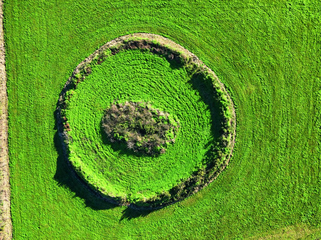
Fairy fort / earthen ringfort in Lerrig SouthFairy fort / earthen ringfort · 940 yd

Explorer Tom Fairy fort / earthen ringfort in Lerrig South has strict rules: no shouting, no dancing, and absolutely no bad jokes.…

Fairy fort / earthen ringfort in Larha (clanmaurice By.)Fairy fort / earthen ringfort · 1031 yd

Explorer Tom Fairy fort / earthern ringfort in Larha hears the ghosts whispering about bad hair days and lost keys. Part of its wall…
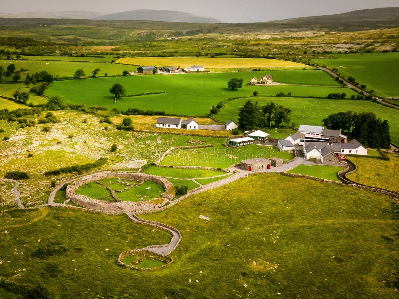
Fairy fort / earthen ringfort in ArdconnellFairy fort / earthen ringfort · 1131 yd

Explorer Tom Fairy fort in Ardconnell has a fieldbank cutting through it like a lazy line of demarcation, and there’s a story about…

Fairy fort / earthen ringfort in Clogher (clanmaurice By., Tubrid Ed)Fairy fort / earthen ringfort · 1357 yd

Explorer Tom Fairy fort / earthen ringfort in Clogher is proud of its double bank, even though the road cut half of it. It stands…

Fairy fort / earthen ringfort in Banna EastFairy fort / earthen ringfort · 1480 yd

Explorer Tom Fairy fort / earthen ringfort in Banna East is sitting in a field corner, looking smug while seagulls argue about its…

Abbey (in ruins)Religious house, Franciscan friars · 1.3 mi

Explorer Tom The Ardfert Abbey suspects the postman is stealing its history because nobody knows when it was actually built. It’s…

CastleCastle, tower house · 2.3 mi

Explorer Tom Castle in Rahoneen was once home to a poet who fell in the ditch nearby. All that remains are the lower floors looking…

Rathoneen Castle (remains of)Castle · 2.3 mi

Explorer Tom Rathoneen Castle is basically a pile of rocks that thinks it’s a fortress, and honestly, I’m not arguing with that. The…

More archaeology and monuments in County Kerry · All of County Kerry

Add to this placeAdd a picture Add a detailed tip Add a story

Explore the map1,095,414 places to discover

Next place · or swipeStanding stone (present location) in Killeacle