
What is recorded here
Described by Toal (1995, no. 827) as follows; 'Cahirferta/Cathair Fhearta (stone fort of (the) grave-mound). Marked on the 1842 and 1897 OS maps as a circular enclosure, it is situated SW of a tall gallán (KE020-020001-). However, this site has since been levelled, and no permission was given to inspect the site. Many…
Read the whole record
From the National Monuments Service (Archaeological Survey of Ireland) record KE020-037
Places near here
Photo credits
- Maker not stated on source page, www.dreamstime.com
- Maker not stated on source page, br.pinterest.com
- Maker not stated on source page, uk.pinterest.com
- Maker not stated on source page, www.agriland.ie
- Maker not stated on source page, za.pinterest.com
- Maker not stated on source page, irisharchaeology.org
- Andreas F. Borchert, Wikimedia Commons · CC BY-SA 4.0
- Cathy Cox, Geograph · CC BY-SA 2.0
- Colin Park, Geograph · CC BY-SA 2.0
 Standing stone (present location) in KilleacleStanding stone (present location) · 165 yd
Explorer Tom Standing stone in Killeacle: Locals swear if you kiss this stone, your luck doubles for a week. I didn’t do it, but I’m…
 Church in Dinneens,killeacleChurch · 315 yd
Explorer Tom Church in Dinneens is hiding out near Ardconnell Hill where the population used to be thick. A cow once tried to buy it…
 Stone head in Dinneens,killeacleStone head · 375 yd
Explorer Tom Stone head in Dinneens, Killeacle is just a face with no body. The seagulls say it looks like a lost sock that learned…
 Fairy fort / earthen ringfort in DinneensFairy fort / earthen ringfort · 465 yd
Explorer Tom Fairy fort / earthen ringfort in Dinneens claims to be older than the concept of time itself. It’s probably lying, but…
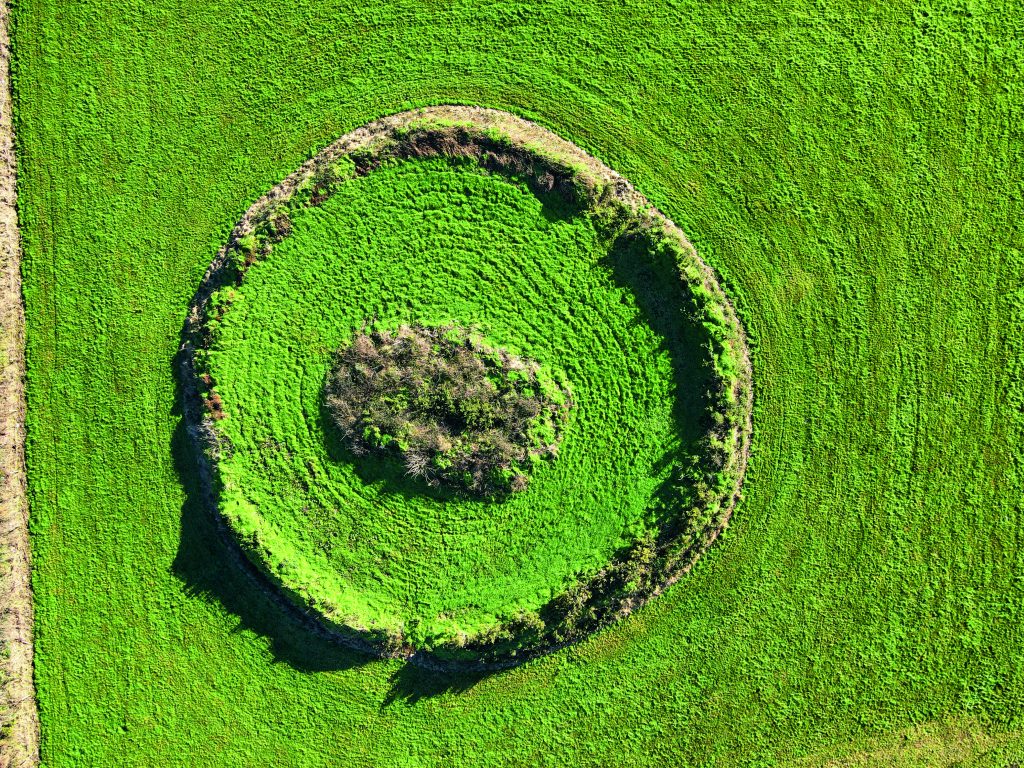 Fairy fort / earthen ringfort in Lerrig SouthFairy fort / earthen ringfort · 1081 yd
Explorer Tom Fairy fort / earthen ringfort in Lerrig South has strict rules: no shouting, no dancing, and absolutely no bad jokes.…
Fairy fort / earthen ringfort in Larha (clanmaurice By.)Fairy fort / earthen ringfort · 1147 ydExplorer Tom Fairy fort / earthern ringfort in Larha hears the ghosts whispering about bad hair days and lost keys. Part of its wall…
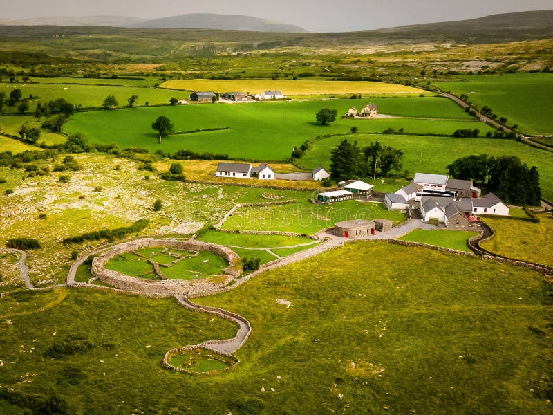 Fairy fort / earthen ringfort in ArdconnellFairy fort / earthen ringfort · 1303 yd
Explorer Tom Fairy fort in Ardconnell has a fieldbank cutting through it like a lazy line of demarcation, and there’s a story about…
 Fairy fort / earthen ringfort in Banna EastFairy fort / earthen ringfort · 1404 yd
Explorer Tom Fairy fort / earthen ringfort in Banna East is sitting in a field corner, looking smug while seagulls argue about its…
 Fairy fort / earthen ringfort in Clogher (clanmaurice By., Tubrid Ed)Fairy fort / earthen ringfort · 1530 yd
Explorer Tom Fairy fort / earthen ringfort in Clogher is proud of its double bank, even though the road cut half of it. It stands…
 Abbey (in ruins)Religious house, Franciscan friars · 1.3 mi
Explorer Tom The Ardfert Abbey suspects the postman is stealing its history because nobody knows when it was actually built. It’s…
 CastleCastle, tower house · 2.2 mi
Explorer Tom Castle in Rahoneen was once home to a poet who fell in the ditch nearby. All that remains are the lower floors looking…
 Rathoneen Castle (remains of)Castle · 2.2 mi
Explorer Tom Rathoneen Castle is basically a pile of rocks that thinks it’s a fortress, and honestly, I’m not arguing with that. The…
More archaeology and monuments in County Kerry · All of County Kerry

What do you know about this place?Tap to add a comment or ask a question