What is recorded here
In boggy pasture, on the S-facing slope of Knockanaguish Hill, with extensive views over the head of Kenmare Bay. An irregular cist (0.8m N-S; 0.7m E-W; D 0.4m) of upright side slabs (H 0.35-0.65m) the upper portions of which are level with, or slightly protrude above, the surface of the bog. Some stones extend outside the SW and NW corners. Loose stones and peat lie at the base of the cist.
The above description is derived from the published 'Archaeological Inventory of County Kerry. Volume I: South-West Kerry' (Dublin: Stationery Office, 2009). In certain instances the entries have been revised and updated in the light of recent research.
Date of upload: 30 May 2011
A small Neolithic cist tomb, likely dating to the Early to Middle Neolithic period (c. 4000–3000 BCE). Its location on a prominent hillside suggests it may have had a ceremonial or commemorative function within the local landscape.
The monument record does not grant public access. Check the route and ask the landowner before entering private land.
- What survives
- Recorded monument
Places near here
 Enclosure in Istalea UpperEnclosure · 485 yd
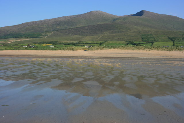 IndicatedFairy fort / earthen ringfort · 707 yd
 KnockanaguishMountain / peak · 1248 yd
 Peakeen MountainMountain / peak · 1698 yd
 Sahaleen Br.Bridge · 1.8 mi
 Parkcormick Br.Bridge · 1.9 mi
 Shanagarry Castle (Site of)Castle, unclassified · 2.6 mi
 The Lodge WoodWood · 2.9 mi
 ruined castleCastle · 2.9 mi
 Kissane Sheep FarmHeritage attraction · 3.0 mi
 Kenmare Tourist Information OfficeVisitor information · 3.0 mi
 Monterey CypressMonterey Cypress · 3.0 mi