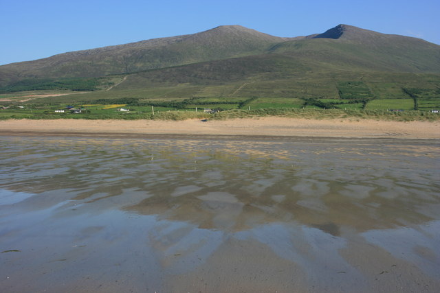
What is recorded here
In pasture, on a S-facing slope. A circular area (21.4m E-W; 21m N-S) defined by an earthen bank (Wth 3m; int. H 0.4m; ext. H 1.4m) ENE-E, by a scarp (H 3m) E-SW and by a more recent earthen field boundary (T 1m; H 1m) SW-ENE. The field boundary, with the remains of stone facing, is grass-covered. A shallow fosse is visible NW-N. The present entrance (Wth 1.8m) is at N. A relatively recent rectangular structure, on a WNW-ESE axis, is built into the scarp at SE and the remains of a limekiln are evident as a semicircular stone structure (diam. 2m; H 1.2m) at SSW. Both of these structures are indicated on the 1846 OS 6-inch map. The S portion of the rath is raised to compensate for the hillslope. Trees and bushes grow along the perimeter at E.
The above description is derived from the published 'Archaeological Inventory of County Kerry. Volume I: South-West Kerry' (Dublin: Stationery Office, 2009). In certain instances the entries have been revised and updated in the light of recent research.
Date of upload: 30 May 2011
A local fairy fort (ringfort/rath); wider significance not recorded.
The monument record does not grant public access. Check the route and ask the landowner before entering private land.
- What survives
- Recorded monument
Places near here
 Enclosure in Istalea UpperEnclosure · 1149 yd
 Man-made underground passage in Gortnaboul LowerMan-made underground passage · 1435 yd
 KnockanaguishMountain / peak · 1.1 mi
 Peakeen MountainMountain / peak · 1.2 mi
 Sahaleen Br.Bridge · 1.5 mi
 Parkcormick Br.Bridge · 1.7 mi
 Shanagarry Castle (Site of)Castle, unclassified · 2.3 mi
 The Lodge WoodWood · 2.5 mi
 Kenmare Tourist Information OfficeVisitor information · 2.6 mi
 Monterey CypressMonterey Cypress · 2.6 mi
 Kenmare Heritage Town - Main StreetMemorial · 2.6 mi
 Mill Cove Gallery / John Brennan StudioGallery · 2.7 mi
Other information
Photo: Credit not shown in the picture search · Rights wording not checked; contact us if this picture should be removed